Locust Grove in Orange County, Virginia — The American South (Mid-Atlantic)
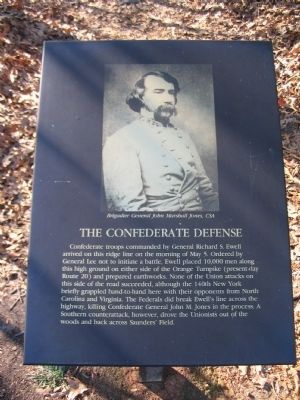
The Confederate Defense
Topics. This historical marker is listed in this topic list: War, US Civil. A significant historical date for this entry is May 5, 1864.
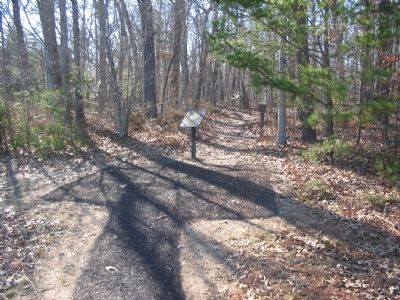
Location. 38° 19.035′ N, 77° 45.547′ W. Marker is in Locust Grove, Virginia, in Orange County. Marker can be reached from Constitution Highway (State Highway 20), on the right when traveling west. The marker is in Wilderness Battlefield at stop 2 of the Gordon Flank Attack trail, near Driving Tour Stop Two (the Exhibit Shelter). Touch for map. Marker is in this post office area: Locust Grove VA 22508, United States of America. Touch for directions.
Other nearby markers. At least 8 other markers are within walking distance of this marker. Battle of the Wilderness (about 400 feet away, measured in a direct line); The Confederate Line (about 400 feet away); “A Wild, Wicked Roar” (about 400 feet away); 140th New York State Vols. (about 500 feet away); First Blood in Saunders Field (about 600 feet away); Gordon Flank Attack Trail (about 600 feet away); a different marker also named "A Wild, Wicked Roar" (about 700 feet away); a different marker also named The Battle of the Wilderness (about 700 feet away). Touch for a list and map of all markers in Locust Grove.
More about this marker. The upper portion of the marker is a portrait of Brigadier General John Marshall Jones, CSA.

Photographed By Craig Swain, February 16, 2008
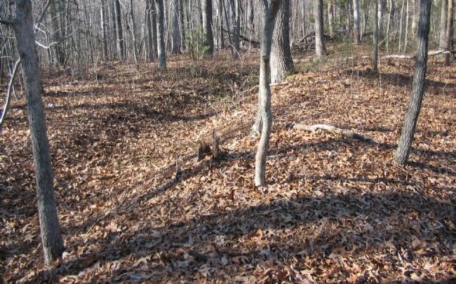
3. Confederate Earthworks
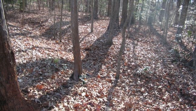
What remains are shallow ditches through the woods. When constructed, these defenses were based on log post retaining walls, with diagonal supports. Displaced earth was banked up on the "enemy" side of the wall. A defender could then stand at a crouch and fire his weapon.
Credits. This page was last revised on September 11, 2020. It was originally submitted on April 27, 2008. This page has been viewed 1,142 times since then and 14 times this year. Last updated on September 5, 2020, by Bradley Owen of Morgantown, West Virginia. Photos: 1, 2, 3, 4. submitted on April 27, 2008, by Craig Swain of Leesburg, Virginia. • J. Makali Bruton was the editor who published this page.


