Near Nicollet in Nicollet County, Minnesota — The American Midwest (Upper Plains)
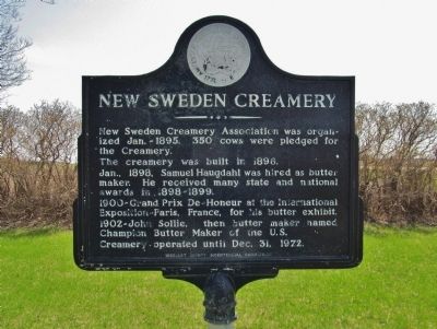
New Sweden Creamery
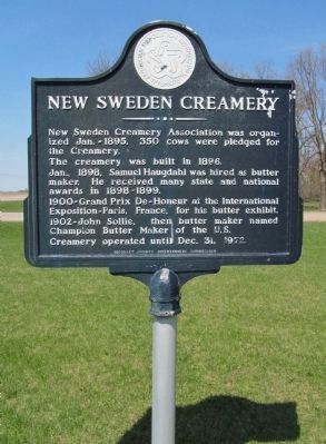
New Sweden Creamery Association was organized Jan. - 1895. 350 cows were pledged for the Creamery.
The creamery was built in 1896.
Jan., 1898, Samuel Haugdahl was hired as butter maker. He received many state and national awards in 1898-1899.
1900-Grand Prix De-Honeur at the International Exposition-Paris, France, for his butter exhibit.
1902-John Sollie, then butter maker named Champion Butter Maker of the U.S.
Creamery-operated until Dec. 31, 1972.
Erected 1976 by the Nicollet County Bicentennial Commission.
Topics and series. This historical marker is listed in this topic list: Industry & Commerce. In addition, it is included in the The Spirit of ’76, America’s Bicentennial Celebration series list. A significant historical date for this entry is December 31, 1972.
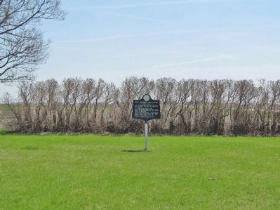
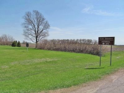
Location. 44° 24.452′ N, 94° 11.396′ W. Marker is near Nicollet, Minnesota, in Nicollet County. Marker is on State Highway 111, 0.4 miles south of 370th Street (State Highway 22), on the right when traveling north. Marker is approximately nine miles north of Nicollet. Touch for map. Marker is in this post office area: Nicollet MN 56074, United States of America. Touch for directions.
Other nearby markers. At least 8 other markers are within 7 miles of this marker, measured as the crow flies. District 6 School (approx. 1.1 miles away); Scandian Grove Evangelical Lutheran Church (approx. 3.3 miles away); Norseland Community (approx. 3.7 miles away); a different marker also named Norseland Community (approx. 3.8 miles away); a different marker also named Norseland Community (approx. 3.8 miles away); New Sweden Indian Attack (approx. 3.9 miles away); Norseland Lutheran Church (approx. 4.1 miles away); Bernadotte Co-op Creamery (approx. 6.3 miles away).
Also see . . . Historic Map Works. 1913 map of New Sweden Township. (Submitted on May 23, 2014.)
Credits. This page was last revised on June 16, 2016. It was originally submitted on May 23, 2014, by Keith L of Wisconsin Rapids, Wisconsin. This page has been viewed 710 times since then and 33 times this year. Photos: 1, 2, 3, 4. submitted on May 23, 2014, by Keith L of Wisconsin Rapids, Wisconsin.


