Manchester in Clay County, Kentucky — The American South (East South Central)
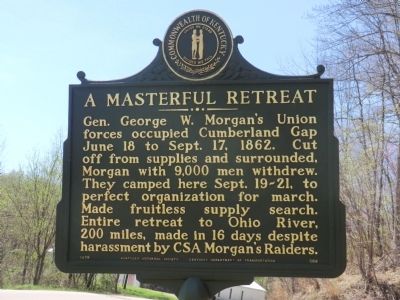
A Masterful Retreat
Confederate Raids and Invasions, and a Federal Retreat, in Kentucky
Erected 1978 by Kentucky Historical Society-Kentucky Department of Transportation. (Marker Number 568.)
Topics and series. This memorial is listed in this topic list: War, US Civil. In addition, it is included in the Kentucky - Confederate Raids and Invasions, and a Federal Retreat, and the Kentucky Historical Society series lists.
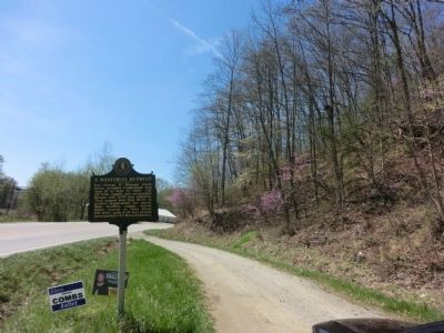
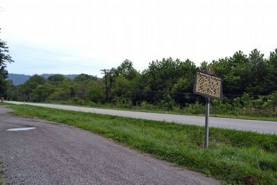
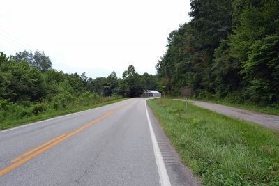
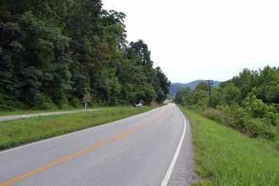
Location. 37° 7.314′ N, 83° 45.234′ W. Marker is in Manchester, Kentucky, in Clay County. Memorial is on Kentucky Route 11, 0.4 miles south of U.S. 421, on the right when traveling south. Touch for map. Marker is in this post office area: Manchester KY 40962, United States of America. Touch for directions.
Other nearby markers. At least 8 other markers are within 12 miles of this marker, measured as the crow flies. Goose Creek Salt Works (within shouting distance of this marker); This Site is Birth Place of Local History (approx. 1.7 miles away); Salt Works was located along the old Warrior's Path (approx. 1.7 miles away); Gov. Bert T. Combs (1959-1963)/Bert T. Combs (1911 – 1991) (approx. 2.3 miles away); County Named, 1806 (approx. 2.3 miles away); Chief Red Bird (approx. 10 miles away); John Gilbert, Sr. Memorial Highway (approx. 10 miles away); Oneida Baptist Institute (approx. 11.7 miles away). Touch for a list and map of all markers in Manchester.
More about this marker. When this marker was recast, the map of Confederate Raids and Federal Retreats in Kentucky was omitted and the same text was used on both sides.
Credits. This page was last revised on March 12, 2020. It was originally submitted on May 23, 2014, by Don Morfe of Baltimore, Maryland. This page has been viewed 781 times since then and 34 times this year. Photos: 1, 2. submitted on May 23, 2014, by Don Morfe of Baltimore, Maryland. 3, 4, 5. submitted on August 21, 2015, by Duane Hall of Abilene, Texas. • Bill Pfingsten was the editor who published this page.
