Enon in Chesterfield County, Virginia — The American South (Mid-Atlantic)
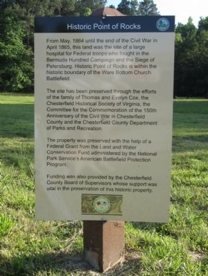
Historic Point of Rocks
The site has been preserved through the efforts of the family of Thomas and Evelyn Cox, the Chesterfield Historical Society of Virginia, the Committee for the Commemoration of the 150th Anniversary of the Civil War in Chesterfield County and the Chesterfield County Department of Parks and Recreation.
The property was preserved with the help of a Federal Grant from the Land and Water Conservation Fund administered by the National Park Service’s American Battlefield Protection Program.
Funding was also provided by the Chesterfield County Board of Supervisors whose support was vital in the preservation of this historic property.
Erected 2014 by Chesterfield County.
Topics. This historical marker is listed in this topic list: War, US Civil. A significant historical month for this entry is April 1865.
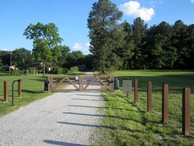
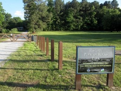
Location. 37° 19.436′ N, 77° 20.299′ W. Marker is in Enon, Virginia, in Chesterfield County. Marker is at the intersection of Enon Church Road (Virginia Route 746) and Point of Rocks Road, on the left when traveling west on Enon Church Road. Touch for map. Marker is in this post office area: Chester VA 23836, United States of America. Touch for directions.
Other nearby markers. At least 8 other markers are within walking distance of this marker. Crimean Ovens (approx. ¼ mile away); a different marker also named Historic Point of Rocks (approx. ¼ mile away); The Strachan House (approx. ¼ mile away); Pontoon Bridge (approx. 0.3 miles away); The United States Submarine Propeller Alligator (approx. 0.3 miles away); The Appomattox River Raid, June 26-28, 1862 (approx. 0.3 miles away); Point of Rocks Hospital (approx. 0.3 miles away); Nurses at Point of Rocks Hospital (approx. 0.3 miles away). Touch for a list and map of all markers in Enon.
Credits. This page was last revised on June 16, 2016. It was originally submitted on May 25, 2014, by Bernard Fisher of Richmond, Virginia. This page has been viewed 601 times since then and 17 times this year. Photos: 1, 2, 3. submitted on May 25, 2014, by Bernard Fisher of Richmond, Virginia.


