Salem in Washington County, Indiana — The American Midwest (Great Lakes)
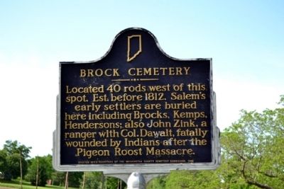
Brock Cemetery
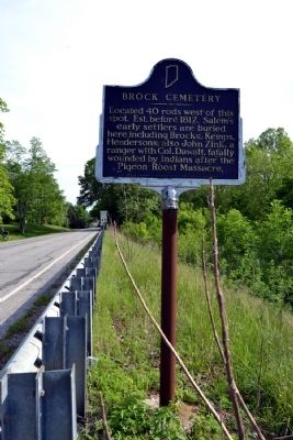
Located 40 rods west of this spot. Est. before 1812. Salem's early settlers are buried here including Brocks, Kemps, Hendersons; also John Zink, a ranger with Col. Dawalt, fatally wounded by Indians after the Pigeon Roost Massacre.
Erected 1982 by Washington County Cemetery Commission. (Marker Number 88.1981.1.)
Topics and series. This historical marker is listed in these topic lists: Cemeteries & Burial Sites • War of 1812. In addition, it is included in the Indiana Historical Bureau Markers series list. A significant historical year for this entry is 1812.
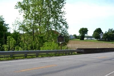
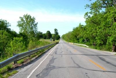
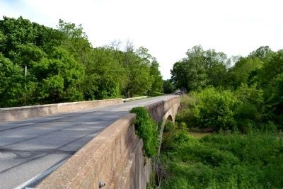
Location. 38° 37.172′ N, 86° 6.029′ W. Marker is in Salem, Indiana, in Washington County. Marker is on N. Main Street (State Road 135) 0.3 miles north of Emma Street, on the right when traveling south. Marker is located at the southwest corner of the SR 135 bridge over Brock Creek. Touch for map. Marker is in this post office area: Salem IN 47167, United States of America. Touch for directions.
Other nearby markers. At least 8 other markers are within walking distance of this marker. Christopher Harrison (approx. 0.9 miles away); Washington County Courthouse / Salem Downtown Historic District (approx. 0.9 miles away); Washington County Veterans Memorial (approx. 0.9 miles away); Washington County Honor Rolls Memorial (approx. one mile away); John Hay Center (approx. one mile away); a different marker also named Washington County Veterans Memorial (approx. one mile away); Salem Suffers (approx. one mile away); Morgan's Raid (approx. one mile away). Touch for a list and map of all markers in Salem.
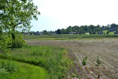
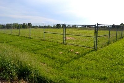
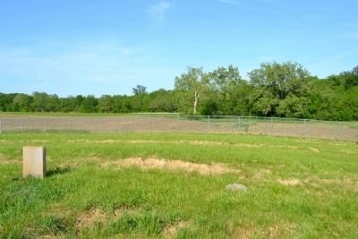
Regarding Brock Cemetery. The Brock Cemetery is located 1/8th mile (40 rods) west of the marker location. The cemetery is accessible from the soccer fields behind Bradie M. Shrum Lower Elementary School at 1103 N. Shelby Street in Salem. The geo-coordinates for the cemetery are: 38.619494,-86.103196.
Also see . . . Brock Cemetery. Find A Grave website entry (Submitted on May 29, 2014.)
Additional commentary.
1. Brock Cemetery Markers
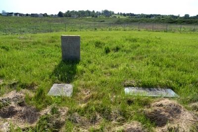
In the middle of the Brock Cemetery there is a marker that states:
Brock Cemetery
Salem's First Cemetery
In Memory of: John Zink, July 22, 1791 - Sept. 6, 1812; Sam Henderson, July 4, 1833; Son, John, July 3, 1833; Daughter, 1833; S. Kemp, 1822; J.K., 1811 - 1830; Brock and other early settlers
Erected by Washington County Cemetery Comm., 1983
There are also individual markers for: George Brock, Pvt VA Militia, 1762 - 1839, Rev War and Catherine Zink Brock, Wife of George, May 27, 1758 - Before 1824.
— Submitted May 29, 2014, by Duane Hall of Abilene, Texas.
Credits. This page was last revised on February 20, 2024. It was originally submitted on May 29, 2014, by Duane Hall of Abilene, Texas. This page has been viewed 867 times since then and 20 times this year. Photos: 1, 2, 3, 4, 5, 6, 7, 8, 9. submitted on May 29, 2014, by Duane Hall of Abilene, Texas.
