Celina in Clay County, Tennessee — The American South (East South Central)
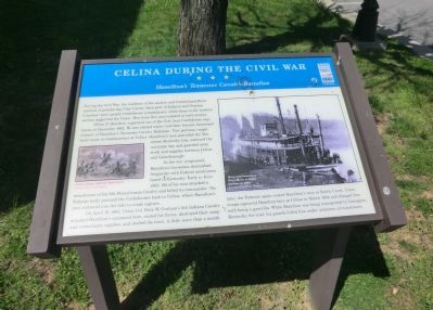
Celina During the Civil War
Hamilton's Tennessee Cavalry Battalion
Oliver P. Hamilton organized one of the first local Confederate regiments in December 1862. He was elected major (and later became lieutenant colonel) of Hamiltonís Tennessee Cavalry Battalion. This partisan ranger band made its headquarters at Celina. Hamiltonís men patrolled the Tennessee-Kentucky line, enforced the conscript law, and guarded army stock and supplies between Celina and Gainsborough.
As the war progressed, Hamiltonís horsemen skirmished frequently with Federal cavalrymen based in Kentucky. Early in June 1862, 180 of his men attacked a detachment of the 9th Pennsylvania Cavalry and killed its commander. The Federals hotly pursued the Confederates back to Celina, where Hamiltonís men scattered into the hills to evade capture.
On April 19, 1863, Union Col Felix W. Grahamís 5th Indiana Cavalry attacked Hamiltonís command here, routed his forces, destroyed their camp and commissary supplies, and shelled the town. A little more than a month later, the Federals again routed Hamiltonís men at Kettle Creek. Union troops captured Hamilton here at Celina in March 1864 and charged him with being a guerrilla. While Hamilton was being transported to Lexington, Kentucky, for trail, his guards killed him under unknown circumstances.
(captions)
(left) Cavalry charge, Alfred R. Waud sketch Courtesy of Library of Congress
(right) Stern-wheel steamboat Henry Harley at Celina landing, ca. 1890s Courtesy Clay County Museum
Erected by Tennessee Civil War Trails.
Topics and series. This historical marker is listed in this topic list: War, US Civil. In addition, it is included in the Tennessee Civil War Trails series list. A significant historical month for this entry is March 1864.
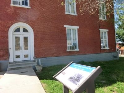
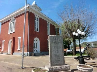
Location. 36° 33.026′ N, 85° 30.364′ W. Marker is in Celina, Tennessee, in Clay County. Marker is at the intersection of Main Street and East Lake Avenue (Tennessee Route 52), on the right when traveling south on Main Street. The marker is located on the grounds of the Clay County Courthouse. Touch for map. Marker is in this post office area: Celina TN 38551, United States of America. Touch for directions.
Other nearby markers. At least 8 other markers are within walking distance of this marker. Clay County Veterans Monument (here, next to this marker); Clay County Veterans Memorial (a few steps from this marker); The Clay County Courthouse (a few steps from this marker); William Hull Building (within shouting distance of this marker); Dumas Walker's Store (within shouting distance of this marker); Hugh Roberts (approx. 0.4 miles away); Donaldson Cemetery (approx. half a mile away); History of the Webb Cemetery (approx. half a mile away). Touch for a list and map of all markers in Celina.
Credits. This page was last revised on June 16, 2016. It was originally submitted on June 10, 2014, by Don Morfe of Baltimore, Maryland. This page has been viewed 1,054 times since then and 66 times this year. Photos: 1, 2, 3. submitted on June 10, 2014, by Don Morfe of Baltimore, Maryland. • Bernard Fisher was the editor who published this page.


