West Townshend in Windham County, Vermont — The American Northeast (New England)
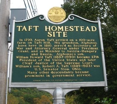
Taft Homestead Site
Erected 2001 by Vermont Division for Historic Preservation.
Topics and series. This historical marker is listed in this topic list: Settlements & Settlers. In addition, it is included in the Former U.S. Presidents: #18 Ulysses S. Grant, and the Former U.S. Presidents: #27 William Howard Taft series lists. A significant historical year for this entry is 1799.
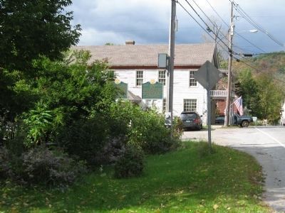
Location. 43° 5.051′ N, 72° 42.689′ W. Marker is in West Townshend, Vermont, in Windham County. Marker is at the intersection of Vermont Route 30 and Windham Hill Road, on the right when traveling south on State Route 30. Located next to the West Townshend Post Office. Touch for map. Marker is in this post office area: West Townshend VT 05359, United States of America. Touch for directions.
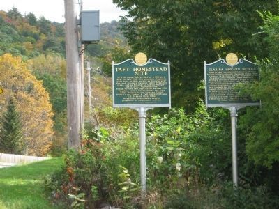
Other nearby markers. At least 8 other markers are within 8 miles of this marker, measured as the crow flies. Clarina Howard Nichols (here, next to this marker); Scott Bridge (approx. 2.6 miles away); Simpsonville Stone Arch Bridge (approx. 3 miles away); Jamaica Veterans Monument (approx. 3.6 miles away); The Round Schoolhouse (approx. 7 miles away); Old Brick Church (approx. 7.2 miles away); West River Railroad (approx. 7.3 miles away); Newfane Honor Roll (approx. 7.3 miles away).
Credits. This page was last revised on February 16, 2023. It was originally submitted on October 15, 2009, by Michael Herrick of Southbury, Connecticut. This page has been viewed 2,734 times since then and 126 times this year. Last updated on June 16, 2014, by Kevin Craft of Bedford, Quebec. Photos: 1, 2, 3. submitted on October 15, 2009, by Michael Herrick of Southbury, Connecticut. • Bill Pfingsten was the editor who published this page.


