East Bradford Township near West Chester in Chester County, Pennsylvania — The American Northeast (Mid-Atlantic)
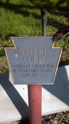
Jefferis Ford
Cornwallis crossed here
between 1 and 2 o’clock
September 11, 1777
Topics. This historical marker is listed in this topic list: War, US Revolutionary. A significant historical date for this entry is September 11, 1777.
Location. 39° 56.338′ N, 75° 38.17′ W. Marker is near West Chester, Pennsylvania, in Chester County. It is in East Bradford Township. Marker is at the intersection of South Creek Road and Allerton Road, on the right when traveling west on South Creek Road. Touch for map. Marker is at or near this postal address: 999 W Miner St, West Chester PA 19382, United States of America. Touch for directions.
Other nearby markers. At least 8 other markers are within 2 miles of this marker, measured as the crow flies. The Worth / Jefferis Rural Historic District (about 400 feet away, measured in a direct line); Battle of the Brandywine (about 400 feet away); a different marker also named Jefferis Ford (about 500 feet away); Sconnelltown. (approx. 0.6 miles away); Jean Kane Foulke (approx. ¾ mile away); Down by the Water’s Edge (approx. 1.1 miles away); Stroud Preserve (approx. 1.1 miles away); Gilbert Cope (approx. 1½ miles away). Touch for a list and map of all markers in West Chester.
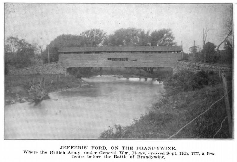
Regarding Jefferis Ford. The additional nearby Jefferis Ford Marker notes a few hours difference in the time of the crossing. It reads, "Around 11am on Sep. 11, 1777, British Generals Howe and Cornwallis crossed the Brandywine River with approx. 11,000 Crown Forces here at Jefferis Ford."
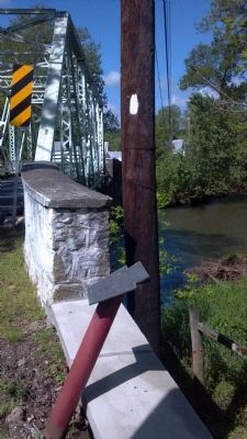
This ford is on the east branch of the Brandywine River.
Related markers. Click here for a list of markers that are related to this marker.
Credits. This page was last revised on May 27, 2023. It was originally submitted on June 16, 2014, by Keith S Smith of West Chester, Pennsylvania. This page has been viewed 1,283 times since then and 41 times this year. Last updated on May 20, 2023, by Carl Gordon Moore Jr. of North East, Maryland. Photos: 1, 2, 3. submitted on June 16, 2014, by Keith S Smith of West Chester, Pennsylvania. 4. submitted on August 22, 2016, by Keith S Smith of West Chester, Pennsylvania. • J. Makali Bruton was the editor who published this page.


