Marker Logo HMdb.org THE HISTORICAL
MARKER DATABASE
“Bite-Size Bits of Local, National, and Global History”
Charlestown in Sullivan County, New Hampshire — The American Northeast (New England)
 

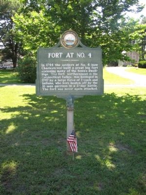
Fort at No. 4


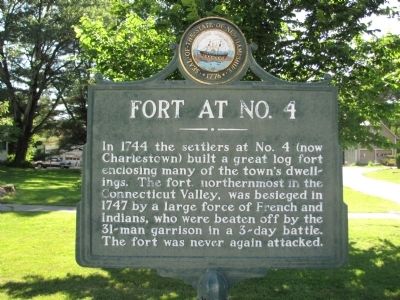
Fort at No. 4 Marker image. Click for full size.
Photographed By Lee Hattabaugh, June 20, 2013
1. Fort at No. 4 Marker
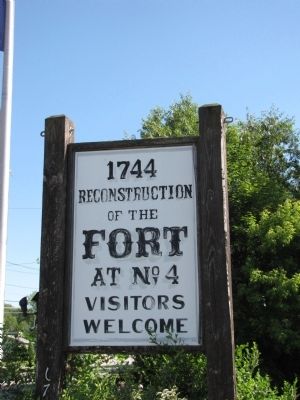
Inscription. In 1744 the settlers at No. 4 (now Charlestown) built a great log fort enclosing many of the town's dwelling. The fort, northernmost in the Connecticut Valley, was besieged in 1747 by a large force of French and Indians, who were beaten off by the 31-man garrison in a 3-day battle. The fort was never again attacked.
 
Erected by New Hampshire Division of Historical Resources. (Marker Number 002.)
 
Topics and series. This memorial is listed in these topic lists: Forts and CastlesSettlements & SettlersWar, French and Indian. In addition, it is included in the New Hampshire Historical Highway Markers series list. A significant historical year for this entry is 1744.
 
Location. 43° 13.992′ N, 72° 25.451′ W. Marker is in Charlestown, New Hampshire, in Sullivan County. Memorial is on Main Street (New Hampshire Route 12) north of Olcott Lane, on the left when traveling north. There are several markers in this location, just north of the Charlestown School building. Lat/Long coordinates are approximate and derived from Google Earth imagery. Touch for map. Marker is in this post office area: Charlestown NH 03603, United States of America. Touch for directions.
 
Other nearby markers. At least 8 other markers are within walking distance of this marker. Captain Phineas Stevens (here, next to this marker); Liberty Tree Memorial (here, next to this marker); This Boulder from the Hill-Side
Paid Advertisement
Click on the ad for more information.
Please report objectionable advertising to the Editor.
Click or scan to see
this page online
(a few steps from this marker); General John Stark's Expedition to Bennington (within shouting distance of this marker); Charlestown, New Hampshire (about 500 feet away, measured in a direct line); Charlestown War Memorial (about 700 feet away); Charlestown World War II and Korean Conflict Memorial (about 700 feet away); Charlestown Civil War and World War Memorial (about 700 feet away). Touch for a list and map of all markers in Charlestown.
 
Fort at No. 4 Marker image. Click for full size.
Photographed By Lee Hattabaugh, June 20, 2013
2. Fort at No. 4 Marker
Fort at No. 4 Marker image. Click for full size.
Photographed By Lee Hattabaugh, June 20, 2013
3. Fort at No. 4 Marker
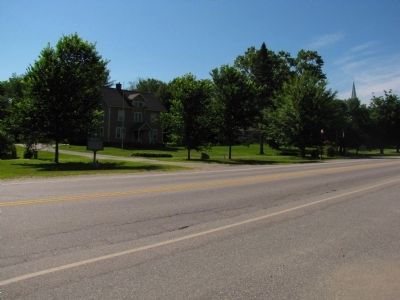
This marker is seen on the left in this image. Main Street in the foreground. Other markers and monuments can be seen in the center and at right (north).
Fort at No. 4 image. Click for full size.
Photographed By Lee Hattabaugh, June 20, 2013
4. Fort at No. 4
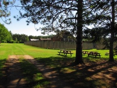
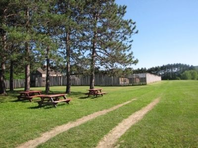
Reconstructed fort is located on Springfield Rd (Route 11) north of Charlestown.
Fort at No. 4 image. Click for full size.
Photographed By Lee Hattabaugh, June 20, 2013
5. Fort at No. 4
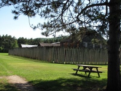
Reconstructed fort is located on Springfield Rd (NH Route 11) north of Charlestown.
Fort at No. 4 image. Click for full size.
Photographed By Lee Hattabaugh, June 20, 2013
6. Fort at No. 4
Reconstructed fort is located on Springfield Rd (NH Route 11) north of Charlestown.
Fort at No. 4 image. Click for full size.
Photographed By Lee Hattabaugh, June 20, 2013
7. Fort at No. 4
Reconstructed fort is located on Springfield Rd (NH Route 11) north of Charlestown.
Fort at No. 4 image. Click for full size.
Photographed By Lee Hattabaugh, June 20, 2013
8. Fort at No. 4
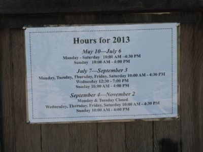
Hours of Operation
Fort at No. 4 image. Click for full size.
Photographed By Lee Hattabaugh, June 20, 2013
9. Fort at No. 4
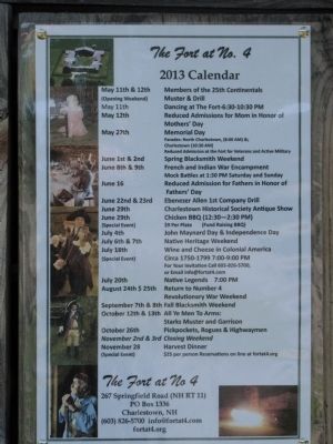
Events Calendar
 
 
Credits. This page was last revised on February 16, 2023. It was originally submitted on June 26, 2013, by Lee Hattabaugh of Capshaw, Alabama. This page has been viewed 1,123 times since then and 98 times this year. Last updated on June 19, 2014, by Kevin Craft of Bedford, Quebec. Photos:   1, 2, 3, 4, 5, 6, 7, 8, 9. submitted on June 26, 2013, by Lee Hattabaugh of Capshaw, Alabama. • Bill Pfingsten was the editor who published this page.
Share this page.  
Share on Tumblr
m=74584

CeraNet Cloud Computing sponsors the Historical Marker Database.
This website earns income from purchases you make after using our links to Amazon.com. We appreciate your support.
Paid Advertisement
Apr. 19, 2024