Buffalo Gap in Taylor County, Texas — The American South (West South Central)
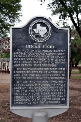
Vicinity of Indian Fight
On Aug. 29, 1863, Indian raiders (probably Comanches) coming north from Mason County, with stolen horses, were caught a mile east of Buffalo Gap by Lt. T.C. Wright and eleven State troopers.
The outnumbered soldiers were forced to attack up a steep hill and the Indians, determined to keep the herd, fought stubbornly.
Wright and his men – two with severe arrow wounds – finally gave up the unequal fight and the Indians escaped with the horses. A lone rider was sent under cover of night to Camp Colorado (45 mi. SE) to bring an ambulance for the wounded.
Erected 1968 by State Historical Survey Committee. (Marker Number 5647.)
Topics. This historical marker is listed in these topic lists: Native Americans • Wars, US Indian. A significant historical month for this entry is August 1880.
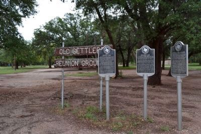
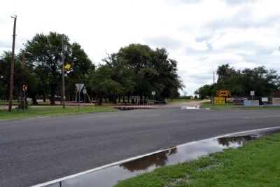
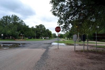
Location. 32° 16.831′ N, 99° 49.595′ W. Marker is in Buffalo Gap, Texas, in Taylor County. Marker is at the intersection of West Street and Vine Street, on the left when traveling south on West Street. Marker is located at the Old Settlers Reunion Grounds. Touch for map. Marker is in this post office area: Buffalo Gap TX 79508, United States of America. Touch for directions.
Other nearby markers. At least 8 other markers are within 5 miles of this marker, measured as the crow flies. Town of Buffalo Gap (here, next to this marker); Buffalo Gap College (here, next to this marker); The Ernie Wilson Museum (approx. 0.4 miles away); Taylor County (approx. 0.4 miles away); Buffalo Gap Cemetery (approx. 1.8 miles away); a different marker also named Taylor County (approx. 4 miles away); The Civilian Conservation Corps at Abilene State Park (approx. 4.3 miles away); Cedar Gap Community (approx. 4.3 miles away). Touch for a list and map of all markers in Buffalo Gap.
Credits. This page was last revised on November 29, 2020. It was originally submitted on June 23, 2014, by Duane Hall of Abilene, Texas. This page has been viewed 1,028 times since then and 41 times this year. Photos: 1, 2, 3, 4. submitted on June 23, 2014, by Duane Hall of Abilene, Texas.


