Sardis in Henderson County, Tennessee — The American South (East South Central)
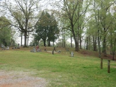
Doe Creek Cemetery
Erected by Tennessee Historical Commission. (Marker Number 4D 59.)
Topics and series. This historical marker is listed in these topic lists: Cemeteries & Burial Sites • War, US Civil. In addition, it is included in the Tennessee Historical Commission series list. A significant historical year for this entry is 1865.
Location. 35° 28.2′ N, 88° 14.85′ W. Marker is in Sardis, Tennessee, in Henderson County. Marker is on Doe Creek Road. Touch for map. Marker is in this post office area: Sardis TN 38371, United States of America. Touch for directions.
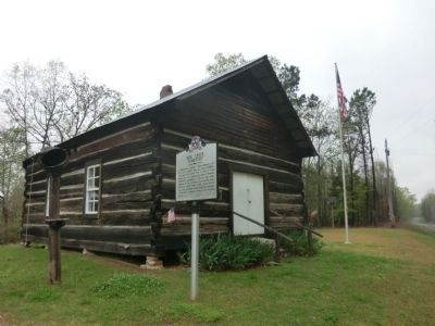
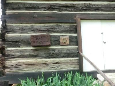
Other nearby markers. At least 8 other markers are within 3 miles of this marker, measured as the crow flies. Doe Creek School (a few steps from this marker); Doe Creek Church and School (within shouting distance of this marker); Granny Austin Cemetery (approx. 2.3 miles away); Austin Chapel Church & The Austin Family Homeplace (approx. 2˝ miles away); The Temple (approx. 2.6 miles away); Prof. B.A. Tucker (approx. 3 miles away); History of Sardis Cemetery (approx. 3.1 miles away); Farmers State Bank and FirstBank: A Century of Community Banking (approx. 3.1 miles away). Touch for a list and map of all markers in Sardis.
Credits. This page was last revised on January 20, 2020. It was originally submitted on June 30, 2014, by Don Morfe of Baltimore, Maryland. This page has been viewed 1,074 times since then and 29 times this year. Photos: 1, 2, 3, 4. submitted on June 30, 2014, by Don Morfe of Baltimore, Maryland. • Bill Pfingsten was the editor who published this page.


