Rockland in Victoria in Capital, British Columbia — Canada’s West Coast (North America)
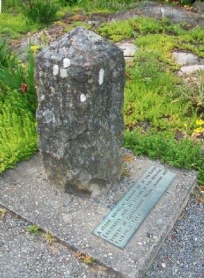
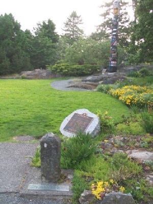
Stone Boundary Marker
Topics. This historical marker is listed in these topic lists: Agriculture • Settlements & Settlers.
Location. 48° 25.135′ N, 123° 20.552′ W. Marker is in Victoria, British Columbia, in Capital. It is in Rockland. Marker is on the grounds of Government House, the residence of the Lieutenant Governor of British Columbia. Touch for map. Marker is at or near this postal address: 1401 Rockland Avenue, Victoria BC V8S 1V9, Canada. Touch for directions.
Other nearby markers. At least 8 other markers are within walking distance of this marker. Hosaqami (here, next to this marker); Sir James Douglas, KCB (a few steps from this marker); Order of Canada / Ordre du Canada (within shouting distance of this marker); Sir Anthony Musgrave (within shouting distance of this marker); Royal and Distinguished Visitors (within shouting distance of this marker); Government House (within shouting distance of this marker); The Role of the Lieutenant Governor (about 90 meters away, measured in a direct line); The People and the Lieutenant Governor (about 90 meters away). Touch for a list and map of all markers in Victoria.
Credits. This page was last revised on February 16, 2023. It was originally submitted on July 2, 2014, by William Fischer, Jr. of Scranton, Pennsylvania. This page has been viewed 474 times since then and 16 times this year. Photos: 1, 2, 3. submitted on July 2, 2014, by William Fischer, Jr. of Scranton, Pennsylvania.


