Ephraim in Sanpete County, Utah — The American Mountains (Southwest)
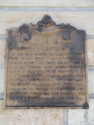
Ephraim Settlement
Erected 1973 by Fort Ephraim Camp, Daughters of Utah Pioneers. (Marker Number 384.)
Topics and series. This historical marker is listed in this topic list: Settlements & Settlers. In addition, it is included in the Daughters of Utah Pioneers series list. A significant historical year for this entry is 1852.
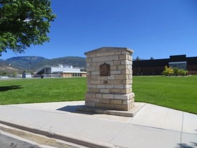
Location. 39° 21.688′ N, 111° 34.768′ W. Marker is in Ephraim, Utah, in Sanpete County. Marker is at the intersection of East 100 North and North 300 East, on the right when traveling east on East 100 North. Touch for map. Marker is in this post office area: Ephraim UT 84627, United States of America. Touch for directions.
Other nearby markers. At least 8 other markers are within walking distance of this marker. Snow Academy Building (approx. 0.2 miles away); Fort Ephraim (approx. ¼ mile away); The Old Fort (approx. 0.4 miles away); Ephraim Relief Society Granary (approx. 0.4 miles away); Ephraim Co-op Building (approx. 0.4 miles away); Canute Peterson House (approx. 0.4 miles away); Ephraim Carnegie Library (approx. half a mile away); Indian Massacre (approx. half a mile away). Touch for a list and map of all markers in Ephraim.
Credits. This page was last revised on June 16, 2016. It was originally submitted on July 3, 2014, by Bill Kirchner of Tucson, Arizona. This page has been viewed 368 times since then and 12 times this year. Photos: 1, 2. submitted on July 3, 2014, by Bill Kirchner of Tucson, Arizona. • Syd Whittle was the editor who published this page.

