Springfield in Effingham County, Georgia — The American South (South Atlantic)
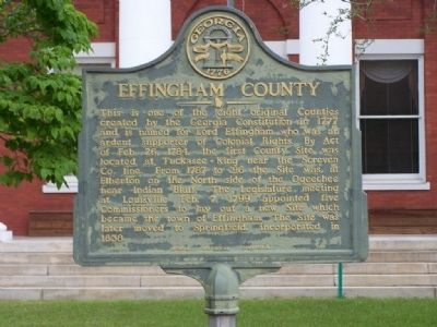
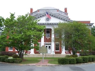
Effingham County
Erected 1954 by Georgia Historical Commission. (Marker Number 051-1.)
Topics and series. This historical marker is listed in these topic lists: Colonial Era • Political Subdivisions • Settlements & Settlers. In addition, it is included in the Georgia Historical Society series list. A significant historical month for this entry is February 1898.
Location. 32° 22.438′ N, 81° 18.905′ W. Marker is in Springfield, Georgia, in Effingham County. Marker is on N. Pine Street near Rabun Street, on the left when traveling east. Touch for map. Marker is at or near this postal address: 901 North Pine St, Springfield GA 31329, United States of America. Touch for directions.
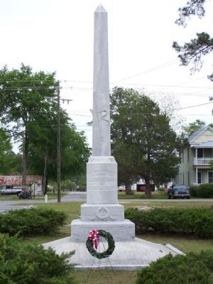
Other nearby markers. At least 8 other markers are within 6 miles of this marker, measured as the crow flies. Effingham County Veterans Memorial (about 400 feet away, measured in a direct line); Confederate Memorial (about 400 feet away); Sherman's Left Wing (approx. 0.6 miles away); Springfield Central High School (approx. 0.7 miles away); Effingham County Methodist Camp Ground (approx. 1˝ miles away); Old Ebenezer (approx. 3.4 miles away); Bethany (approx. 4.8 miles away); Pilgrim Missionary Baptist Normal and Industrial Institute (approx. 5.4 miles away). Touch for a list and map of all markers in Springfield.
Credits. This page was last revised on June 14, 2020. It was originally submitted on April 30, 2008, by Mike Stroud of Bluffton, South Carolina. This page has been viewed 1,664 times since then and 17 times this year. Last updated on May 1, 2008, by Mike Stroud of Bluffton, South Carolina. Photos: 1, 2, 3. submitted on April 30, 2008, by Mike Stroud of Bluffton, South Carolina. • Kevin W. was the editor who published this page.


