Angola in Erie County, New York — The American Northeast (Mid-Atlantic)
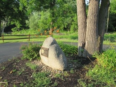
Site of "Bundy's Mill"
Inscription.
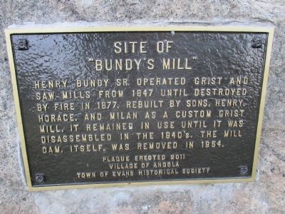
Henry Bundy, Sr. operated grist and saw mills from 1847 until destroyed by fire in 1877. Rebuilt by sons, Henry, Horace, and Milan as a custom grist mill, it remained in use until it was disassembled in the 1940's. The mill dam, itself, was removed in 1954.
Erected 2011 by Village of Angola and Town of Evans Historical Society.
Topics. This historical marker is listed in these topic lists: Agriculture • Industry & Commerce • Settlements & Settlers. A significant historical year for this entry is 1847.
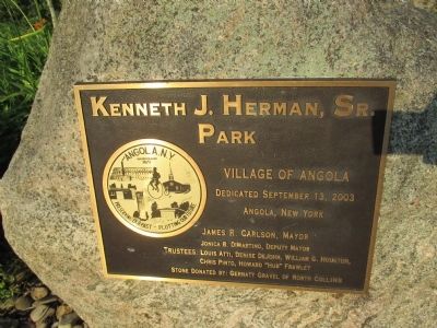
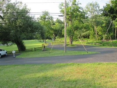
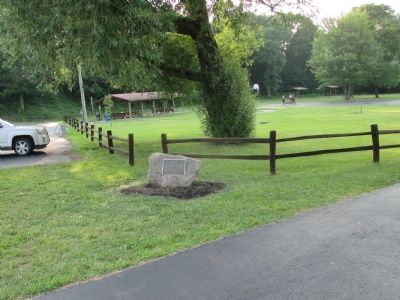
Location. 42° 38.648′ N, 79° 1.466′ W. Marker is in Angola, New York, in Erie County. Marker is on Mill Street, 0.1 miles west of Gowans Road, on the right when traveling west. Marker is located in Kenneth J. Herman, Sr. Park adjecent to Big Sister Creek and bridge. Touch for map. Marker is in this post office area: Angola NY 14006, United States of America. Touch for directions.
Other nearby markers. At least 8 other markers are within 2 miles of this marker, measured as the crow flies. "Angola Horror" (about 300 feet away, measured in a direct line); Burial Site of Asa Ames / Pioneer Cemetery 1810-1928 (approx. 0.8 miles away); Site of First Town Hall (approx. one mile away); Major William C. Dudley (approx. 1.1 miles away); Dedicated to the Memory (approx. 1.2 miles away); Birthplace of Willis Haviland Carrier (approx. 1.2 miles away); Western New York (approx. 1.9 miles away); The White City (approx. 2.1 miles away). Touch for a list and map of all markers in Angola.
Credits. This page was last revised on February 12, 2023. It was originally submitted on July 9, 2014, by Anton Schwarzmueller of Wilson, New York. This page has been viewed 585 times since then and 22 times this year. Photos: 1, 2, 3, 4, 5, 6. submitted on July 9, 2014, by Anton Schwarzmueller of Wilson, New York. • Bill Pfingsten was the editor who published this page.
