Near Spotsylvania Courthouse in Spotsylvania County, Virginia — The American South (Mid-Atlantic)
The Climax
The Battle of the Wilderness
— Fredericksburg and Spotsylvania National Military Park —
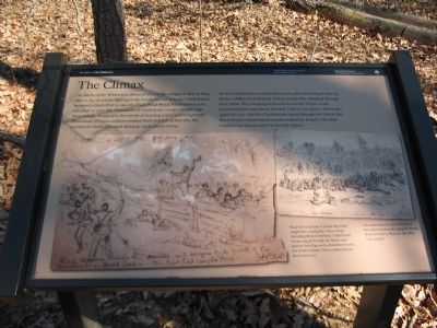
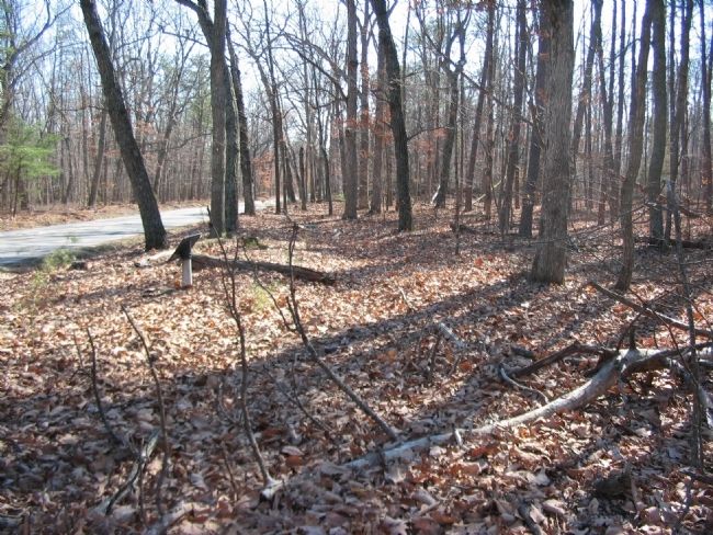
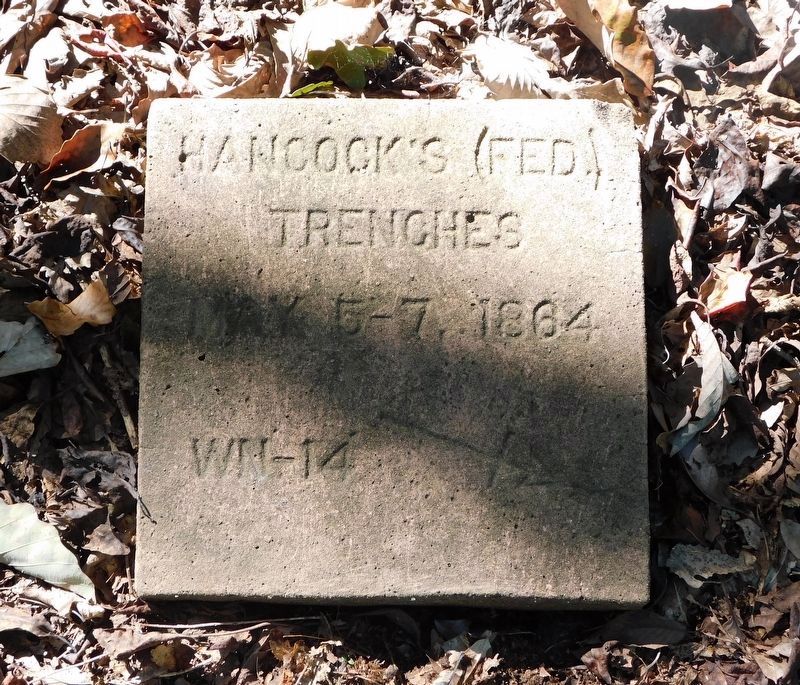
The Battle of the Wilderness climaxed here in the twilight of May 6, 1864. After a day of seesaw fighting in the woods behind you, the Confederates mounted a final effort to take the Plank Road-Brock Road intersection, 100 yards to your left. Thousands of Confederate troops tore through these woods, wrapped in the smoke of burning leaves and underbrush. Thousands of Union soldiers awaited them behind earthworks, the remains of which still stand about 40 yards ahead of you.
As the Confederates reached this point, piles of brush put here by Union soldiers slowed them. Union musket fire whipped through their ranks. Fire creeping eastward toward the Union works prevented their movement forward. Only in one place - the works opposite you - did the Confederates break through the Union line. But a Union counterattack quickly sealed the breach. The final Confederate attack ended in bloody repulse.
Erected by National Park Service, U.S. Department of the Interior.
Topics. This historical marker is listed in this topic list: War, US Civil. A significant historical date for this entry is May 6, 1879.
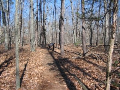
Location. 38° 18.042′ N, 77° 42.528′ W. Marker is near Spotsylvania Courthouse, Virginia, in Spotsylvania County. Marker can be reached from the intersection of Orange Plank Road (County Route 621) and Brock Road (County Route 613), on the right when traveling east. Located at stop eight (Brock Road-Plank Road Intersection) of the driving tour of the Wilderness Battlefield. The marker is along a half-mile loop trail at the tour stop. Touch for map. Marker is at or near this postal address: 10801 Orange Plank Rd, Spotsylvania VA 22551, United States of America. Touch for directions.
Other nearby markers. At least 8 other markers are within walking distance of this marker. No Turning Back (within shouting distance of this marker); On to Richmond! (within shouting distance of this marker); Echoes Homeward (within shouting distance of this marker); Valuable Crossroads (within shouting distance of this marker); 12th Regiment New Jersey Volunteers 1862 - 1865 (within shouting distance of this marker); Horror on the Orange Plank Road (within shouting distance of this marker); Hell Itself (about 300 feet away, measured in a direct line); The Vermont Brigade (about 300 feet away). Touch for a list and map of all markers in Spotsylvania Courthouse.
More about this marker. A drawing on the bottom left of the marker illustrates, Near here a section of Union log works caught fire, causing the Union troops defending them to fall back. Confederate troops surged through the flames and planted their flag on the abandoned works, but within minutes Union counterattacks drove them out.
On the right An artist made the above sketch of the Union earthworks along the Brock Road on May 7, 1864, one day after Lee's assault.
Credits. This page was last revised on July 9, 2021. It was originally submitted on May 1, 2008, by Craig Swain of Leesburg, Virginia. This page has been viewed 1,421 times since then and 14 times this year. Photos: 1, 2, 3. submitted on May 1, 2008, by Craig Swain of Leesburg, Virginia. 4. submitted on September 10, 2020, by Bradley Owen of Morgantown, West Virginia.


