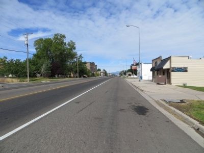
Santaquin in Utah County, Utah — The American Mountains (Southwest)
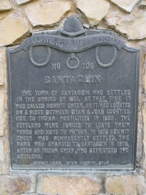
Santaquin
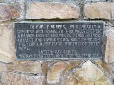
Plaque below:
To our pioneers, who nearly a century ago, came to this valley, then a barren desert, and whose persistence, loyalty and love of God, built through the years a heritage worthy of their name.
Latter-day Saints, We pay heartfelt and eternal tribute
Erected 1947 by Camp Summit, Daughters of Utah Pioneers. (Marker Number 109.)
Topics and series. This historical marker is listed in this topic list: Settlements & Settlers. In addition, it is included in the Daughters of Utah Pioneers series list. A significant historical year for this entry is 1851.
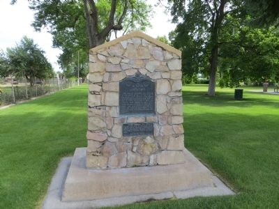
Location. 39° 58.543′ N, 111° 47.062′ W. Marker is in Santaquin, Utah, in Utah County. Marker is on Grand Army of the Republic Highway west of 100 East Street, on the right when traveling west. Touch for map. Marker is in this post office area: Santaquin UT 84655, United States of America. Touch for directions.
Other nearby markers. At least 8 other markers are within 6 miles of this marker, measured as the crow flies. First Relief Society Hall (within shouting distance of this marker); Southern Utah Valley (approx. 0.2 miles away); Spring Lake Villa (approx. 2˝ miles away); Black Hawk - Ute Indian Chief (approx. 2.8 miles away); West Mountain (approx. 4˝ miles away); The Walker War (approx. 4.8 miles away); Our Pioneers (approx. 5.2 miles away); Dominguez y Escalante Expedition (approx. 5.3 miles away). Touch for a list and map of all markers in Santaquin.
Credits. This page was last revised on June 16, 2016. It was originally submitted on July 12, 2014, by Bill Kirchner of Tucson, Arizona. This page has been viewed 647 times since then and 63 times this year. Photos: 1, 2, 3, 4, 5. submitted on July 12, 2014, by Bill Kirchner of Tucson, Arizona. • Al Wolf was the editor who published this page.
