Scriba in Oswego County, New York — The American Northeast (Mid-Atlantic)
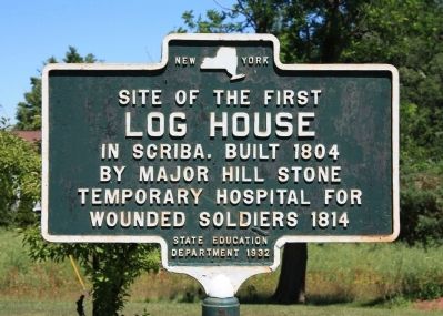
Log House
Log House
in Scriba. Built 1804
by Major Hill Stone
temporary hospital for
wounded soldiers 1814
Erected 1932 by State Education Department.
Topics. This historical marker is listed in these topic lists: Settlements & Settlers • War of 1812. A significant historical year for this entry is 1804.
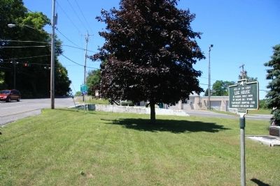
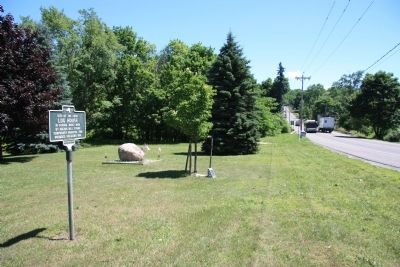
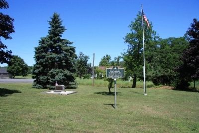
Location. 43° 27.933′ N, 76° 25.816′ W. Marker is in Scriba, New York, in Oswego County. Marker is at the intersection of New York State Route 104 and Creamery Road, on the left when traveling east on State Route 104. This historical marker is located in a small roadside memorial park, in the northeast corner of the intersection. Touch for map. Marker is in this post office area: Oswego NY 13126, United States of America. Touch for directions.
Other nearby markers. At least 8 other markers are within 4 miles of this marker, measured as the crow flies. Curtis F. Shoup (a few steps from this marker); Commanding the Forces (approx. 1.1 miles away); Corporal Harry C. Adriance U.S.M.C.-Oswego, NY (approx. 3.6 miles away); Richardson - Bates House Museum (approx. 3.8 miles away); From the Hearth of America Come the Heart of America (approx. 3.8 miles away); Those Buried At Fort Ontario (approx. 3.8 miles away); The Post Cemetery (approx. 3.8 miles away); Revolutionary War Patriots Monument (approx. 3.8 miles away). Touch for a list and map of all markers in Scriba.
Credits. This page was last revised on June 16, 2016. It was originally submitted on July 16, 2014, by Dale K. Benington of Toledo, Ohio. This page has been viewed 392 times since then and 21 times this year. Photos: 1, 2, 3, 4. submitted on July 16, 2014, by Dale K. Benington of Toledo, Ohio.


