Longwood in Clarke County, Virginia — The American South (Mid-Atlantic)
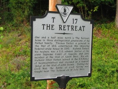
The Retreat
Erected 1999 by Department of Historical Resources. (Marker Number T-17.)
Topics and series. This historical marker is listed in these topic lists: War of 1812 • War, US Civil. In addition, it is included in the Virginia Department of Historic Resources (DHR) series list. A significant historical date for this entry is July 18, 1864.
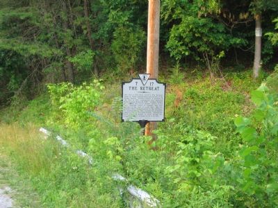
Location. 39° 7.38′ N, 77° 53.28′ W. Marker is in Longwood, Virginia, in Clarke County. Marker is at the intersection of Parker Lane and Harry Byrd Highway (Virginia Route 7), on the right when traveling west on Parker Lane. The marker is rather easy to miss, and is tucked away behind the safety rail. Touch for map. Marker is in this post office area: Bluemont VA 20135, United States of America. Touch for directions.
Other nearby markers. At least 8 other markers are within 2 miles of this marker, measured as the crow flies. Battle of Cool Spring (approx. 0.4 miles away); Castleman’s Ferry Fight (approx. half a mile away); Colonial Highway (approx. 1.3 miles away); a different marker also named Battle of Cool Spring (approx. 1.3 miles away); Judge Parker's “Retreat” & the Battle of Cool Spring (approx. 1.3 miles away); Col. George D. Wells Leads the Way (approx. 1.4 miles away); Confederate Counterattack and Union Retreat (approx. 1.4 miles away); a different marker also named Battle of Cool Spring (approx. 1.9 miles away). Touch for a list and map of all markers in Longwood.
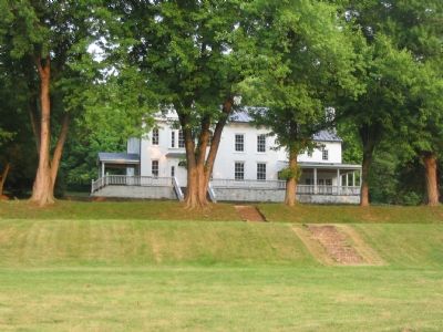
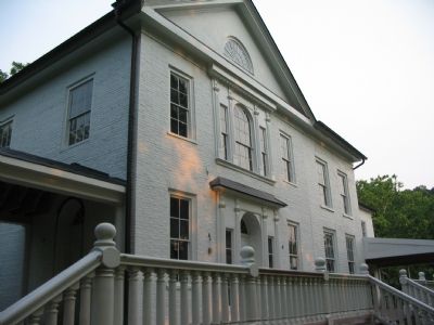
Regarding The Retreat. The Retreat can be viewed after a short drive down Parker Lane past the grounds of Shenandoah University's Shenandoah River Campus. During the Battle of Cool Springs, a Federal Division occupied the grounds around The Retreat. The house is privately owned.
Credits. This page was last revised on October 11, 2020. It was originally submitted on June 18, 2007, by Craig Swain of Leesburg, Virginia. This page has been viewed 3,320 times since then and 80 times this year. Last updated on July 20, 2014, by Linda Walcroft of Woodstock, Virginia. Photos: 1, 2, 3, 4. submitted on June 18, 2007, by Craig Swain of Leesburg, Virginia. • Bernard Fisher was the editor who published this page.


