Fells Point in Baltimore, Maryland — The American Northeast (Mid-Atlantic)
Frederick Douglass
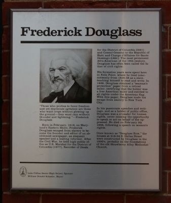
Born in February, 1818, on Maryland's Eastern Shore, Frederick Douglass escaped from slavery to become the founder and editor of an abolitionist newspaper, and eloquent speaker and a leading reformer. After the Civil War, he held high public office as a U.S. Marhsal for the District of Columbia (1877), Recorder of Deeds for the District of Columbia (1881) and Consul-General to the Republic of Haiti and Charge d'Affaires for Santo Domingo (1891). The most prominent Afro-American of the 19th century, Douglass has often been called the father of civil rights.
His formative years were spent here in Fells Point, where he lived intermittently from 1826-38 as a slave, teaching himself to read and write. In 1838, Douglass obtained a "seaman's protection" paper from a retired sailor, certifying that the holder was a free American sailor and entitled to all rights under the American flag. With this paper, Douglass made his escape from slavery to New York City.
In his passionate speeches and writings, and as a holder of public office, Douglass was a crusader for human rights, never missing the opportunity to speak or act on behalf of the oppressed. He died on February 20, 1895, following a speech on women's rights.
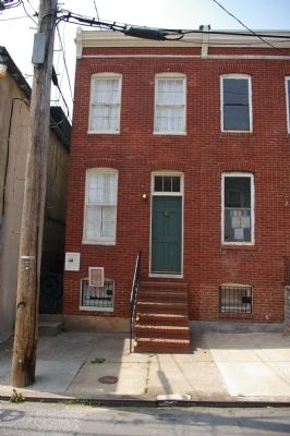
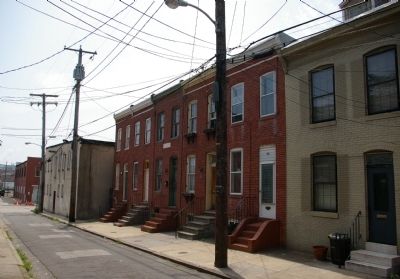
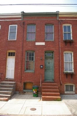
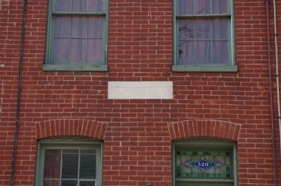
Once known as "Douglass Row," the houses at 516-524 S. Dallas Street were constructed by Douglass in the 1890's, probably on the foundations of the old Strawberry Alley Methodist Church.
Erected by the City of Baltimore, Lake Clifton Senior High School, sponsor, William Donald Schaefer, mayor.
Topics and series. This historical marker is listed in these topic lists: African Americans • Civil Rights • Government & Politics. In addition, it is included in the Maryland, Baltimore City historical markers series list. A significant historical month for this entry is February 1818.
Location. 39° 17.085′ N, 76° 35.764′ W. Marker is in Baltimore, Maryland. It is in Fells Point. Marker is on South Dallas Street, on the right when traveling south. Touch for map. Marker is at or near this postal address: 524 South Dallas Street, Baltimore MD 21231, United States of America. Touch for directions.
Other nearby markers. At least 8 other markers are within walking distance of this marker. 708 South Bond Street (about 600 feet away, measured in a direct line); 728 South Bond Street (about 800 feet away); 713 South Bethel Street (approx. 0.2 miles away); 715 South Bethel Street (approx. 0.2 miles away); Hurricane Isabel High Water Mark (approx. 0.2 miles
away); 1537 Lancaster Street (approx. 0.2 miles away); 1602 Lancaster Street (approx. 0.2 miles away); 1621 Lancaster Street (approx. 0.2 miles away). Touch for a list and map of all markers in Baltimore.
Credits. This page was last revised on August 28, 2020. It was originally submitted on May 3, 2008, by Christopher Busta-Peck of Shaker Heights, Ohio. This page has been viewed 2,743 times since then and 25 times this year. Photos: 1, 2, 3, 4, 5. submitted on May 3, 2008, by Christopher Busta-Peck of Shaker Heights, Ohio.
