Near La Porte in LaPorte County, Indiana — The American Midwest (Great Lakes)
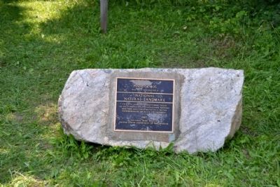
Pinhook Bog
Indiana Dunes National Lakeshore
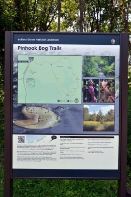
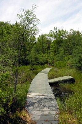
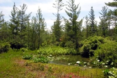
Bogs like Pinhook are relics of our glacial past. Trapped in the pulverized clay and rock left behind by a melting glacier, Pinhook Bog began as a kettle lake. Cut off from ground water, Pinhook's water gradually became acidic.
Sphagnum moss, tolerant of acidic waters, formed floating mats that eventually supported plants like pitcher plants, sundew, and ferns. Over time, blueberry and holly shrubs colonized this unique acidic bog, eventually giving way to larger trees like tamarack and red maple.
Erected by National Park Service.
Topics. This historical marker is listed in this topic list: Natural Features.
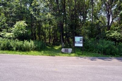
Location. 41° 37.258′ N, 86° 51.031′ W. Marker is near La Porte, Indiana, in LaPorte County. Marker can be reached from North Wozniak Road, 0.3 miles south of County Road W 125N, on the right when traveling north. Touch for map. Marker is at or near this postal address: 945 N Wozniak Rd, La Porte IN 46350, United States of America. Touch for directions.
Other nearby markers. At least 8 other markers are within 6 miles of this marker, measured as the crow flies. Pinhook Methodist Church and Cemetery (approx. 4 miles away); Door Village School (approx. 5.3 miles away); Door Village Fort (approx. 5.6 miles away); P.F.C. Kenneth L. Scott Memorial (approx. 5.6 miles away); Indian Boundary Line (approx. 5.7 miles away); Saint Stanislaus Cemetery World War II Memorial (approx. 5.8 miles away); La Porte World War II Memorial (approx. 5.9 miles away); Memorial Forest Planting (approx. 5.9 miles away). Touch for a list and map of all markers in La Porte.
More about this marker. The marker also includes a map and information on the two trails in the area.
Also see . . . Pinhook Bog - Wikipedia entry. (Submitted on July 23, 2014.)
Credits. This page was last revised on November 23, 2020. It was originally submitted on July 23, 2014, by Duane Hall of Abilene, Texas. This page has been viewed 567 times since then and 16 times this year. Photos: 1, 2, 3, 4, 5. submitted on July 23, 2014, by Duane Hall of Abilene, Texas.
