Parishville in St. Lawrence County, New York — The American Northeast (Mid-Atlantic)
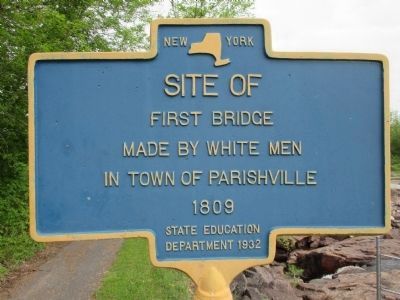
Site Of First Bridge
Erected 1932 by State Education Department.
Topics. This historical marker is listed in these topic lists: Bridges & Viaducts • Settlements & Settlers. A significant historical year for this entry is 1809.
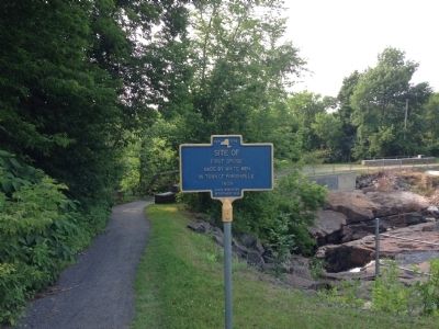
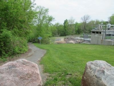
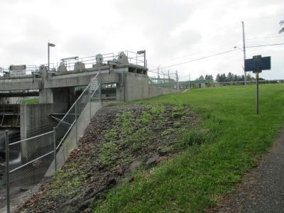
Location. 44° 37.665′ N, 74° 48.941′ W. Marker is in Parishville, New York, in St. Lawrence County. Marker can be reached from Main Street (State Highway 72), on the right when traveling west. Located back from the road on the walking trail that leads to the foot bridge near the dam. Touch for map. Marker is in this post office area: Parishville NY 13672, United States of America. Touch for directions.
Other nearby markers. At least 8 other markers are within 7 miles of this marker, measured as the crow flies. Parish Tavern (within shouting distance of this marker); Parishville (about 500 feet away, measured in a direct line); West Branch St. Regis River (about 500 feet away); First Church (approx. 2.2 miles away); Site of Log Cabin of Luke Brown (approx. 4.3 miles away); This was the First Road in the Town of Parishville (approx. 6.8 miles away); Hopkinton Green Historic District (approx. 7 miles away); British Raid (approx. 7 miles away). Touch for a list and map of all markers in Parishville.
Credits. This page was last revised on June 16, 2016. It was originally submitted on July 27, 2014, by Sean Ellison of Potsdam, New York. This page has been viewed 522 times since then and 13 times this year. Photos: 1. submitted on June 11, 2015, by Anton Schwarzmueller of Wilson, New York. 2. submitted on July 27, 2014, by Sean Ellison of Potsdam, New York. 3, 4. submitted on June 11, 2015, by Anton Schwarzmueller of Wilson, New York. • Bill Pfingsten was the editor who published this page.


