West Arlington in Tarrant County, Texas — The American South (West South Central)
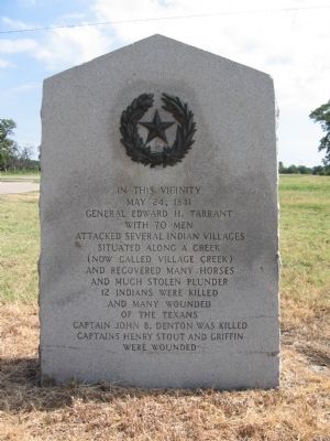
General Edward H. Tarrant
Erected 1936 by The State of Texas. (Marker Number 2127.)
Topics and series. This historical marker is listed in these topic lists: Native Americans • Settlements & Settlers • Wars, US Indian. In addition, it is included in the Texas 1936 Centennial Markers and Monuments series list. A significant historical date for this entry is May 24, 1838.
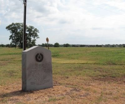
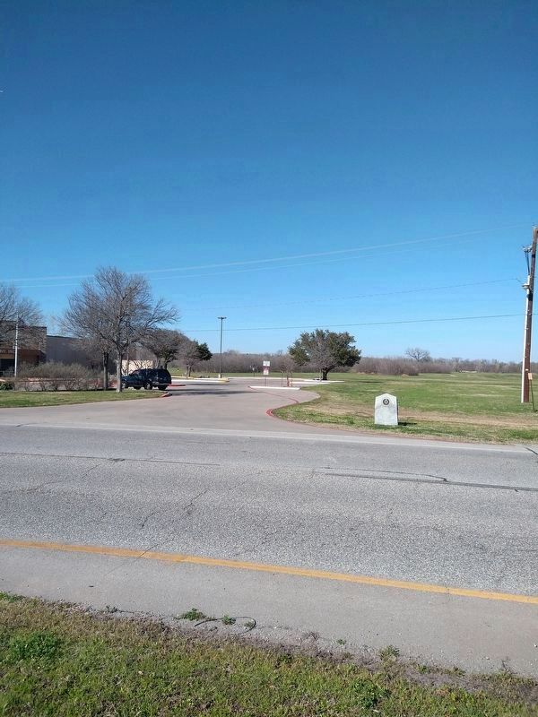
Location. 32° 43.41′ N, 97° 11.211′ W. Marker is in Arlington, Texas, in Tarrant County. It is in West Arlington. Marker is on Pioneer Parkway (State Highway 303 Spur) 0.3 miles west of Green Oaks Boulevard, on the right when traveling west. Touch for map. Marker is in this post office area: Arlington TX 76013, United States of America. Touch for directions.
Other nearby markers. At least 8 other markers are within 4 miles of this marker, measured as the crow flies. Handley Cemetery (approx. 1.8 miles away); Top O' Hill Terrace (approx. 2 miles away); Dalworthington Gardens (approx. 2˝ miles away); Harrison Cemetery (approx. 2˝ miles away); Tate Cemetery (approx. 2.9 miles away); Isham Cemetery (approx. 3.2 miles away); Fielder House (approx. 3.3 miles away); End of Battle of Village Creek (approx. 3.9 miles away). Touch for a list and map of all markers in Arlington.

Photographed By Richard Denney, July 17, 2009
3. Arlington Golf Course
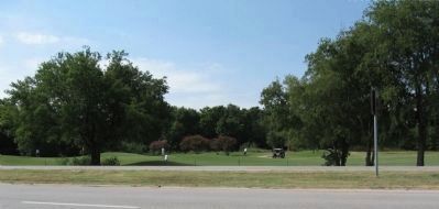
The Arlington Golf Course lies across the road from the marker. Located on the 7th tee an additional marker (not shown here) provides additional information reading:
"Archeological excavations along the course of this Trinity River tributary have unearthed evidence of several prehistoric villages. Artifacts from the area date back almost 9,000 years and represent a culture of food-gatherers and hunters.
In the 1830s the Creek served as a sanctuary for several Indian tribes who made frequent raids on frontier settlements. The conflict grew worse in 1841 when major attacks were reported in Fannin and Red River Counties.
Brigadier General Edward H. Tarrant (1796-1858) of the Republic of Texas Militia led a company of volunteers in a punitive expedition against Indian villages in this area. On May 24, 1841, following brief skirmishes at several encampments, two scouting patrols were attacked near the mouth of the Creek and retreated to the main camp. Reportedly twelve Indians and one soldier, Captain John B. Denton, were killed.
As result of the Battle of Village Creek, many tribes began moving west. Others were later removed under terms of the 1843 Treaty signed at Bird's Fort (10 mi. NE) which opened the area to colonization. Much of the battle site is now located beneath the waters of Lake Arlington."
Credits. This page was last revised on February 27, 2024. It was originally submitted on July 19, 2009, by Richard Denney of Austin, Texas. This page has been viewed 3,881 times since then and 87 times this year. Last updated on February 10, 2024, by Jeff Leichsenring of Garland, Texas. Photos: 1, 2, 3. submitted on July 19, 2009, by Richard Denney of Austin, Texas. 4. submitted on February 26, 2024, by Jeff Leichsenring of Garland, Texas. • James Hulse was the editor who published this page.


