Melbourne in Brevard County, Florida — The American South (South Atlantic)
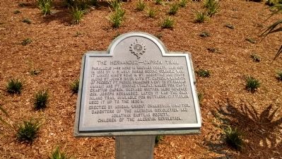
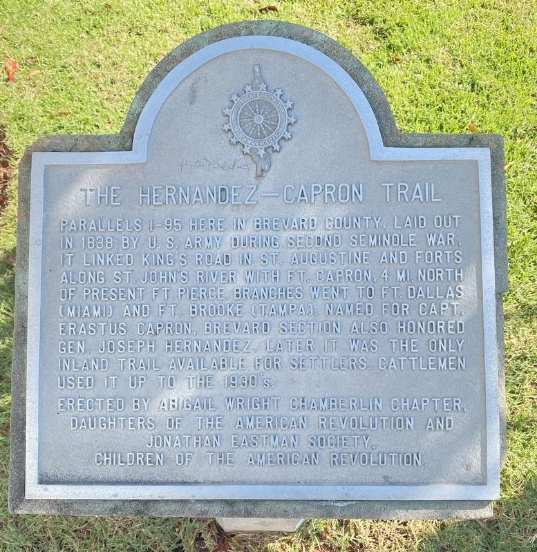
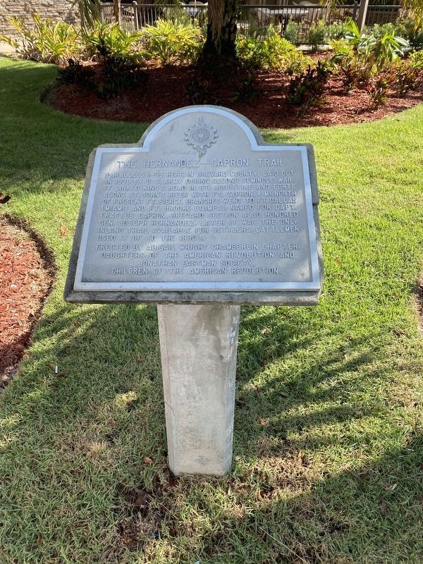
The Hernandez-Capron Trail
Erected by The Abigail Wright Chamberlin Chapter, Daughters of the American Revolution and Jonathan Eastman Society, Children of the American Revolution.
Topics and series. This historical marker is listed in these topic lists: Forts and Castles • Roads & Vehicles • Settlements & Settlers • Wars, US Indian. In addition, it is included in the Daughters of the American Revolution series list. A significant historical year for this entry is 1838.
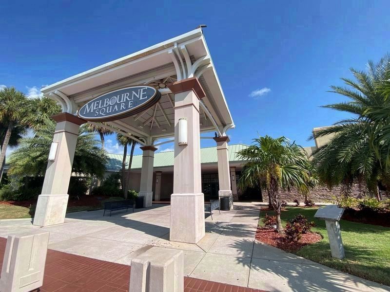
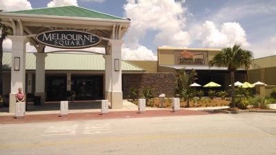
Location. 28° 4.86′ N, 80° 38.975′ W. Marker is in Melbourne, Florida, in Brevard County. Marker can be reached from the intersection of West New Haven Avenue (U.S. 192) and McClain Drive, on the right when traveling west. Marker is located in front of the south entrance to the Melbourne Square Mall. Touch for map . Marker is at or near this postal address: 1700 W New Haven Ave, Melbourne FL 32904, United States of America. Touch for directions.
Other nearby markers. At least 8 other markers are within 2 miles of this marker, measured as the crow flies. Union Cypress Railway (approx. 0.9 miles away); Original Melbourne Village Hall (approx. one mile away); Lincoln Hotel (approx. 1.3 miles away); Naval Air Station Melbourne (approx. 1.4 miles away); Land Yacht Port-O-Call (approx. 1.4 miles away); Holy Trinity (approx. 1.7 miles away); Florida Institute of Technology (approx. 1.8 miles away); Little Red Schoolhouse (approx. 1.9 miles away). Touch for a list and map of all markers in Melbourne.
Credits. This page was last revised on September 9, 2023. It was originally submitted on August 1, 2014, by Jamie Cox of Melbourne, Florida. This page has been viewed 1,009 times since then and 52 times this year. Photos: 1. submitted on August 1, 2014, by Jamie Cox of Melbourne, Florida. 2, 3, 4. submitted on September 9, 2023, by Diane Murphy of Saint Cloud, Florida. 5. submitted on August 1, 2014, by Jamie Cox of Melbourne, Florida. • Bernard Fisher was the editor who published this page.
