St. Catharines in Niagara Region, Ontario — Central Canada (North America)
Lock 24 - First Welland Canal
Welland Canals Society
Inscription.
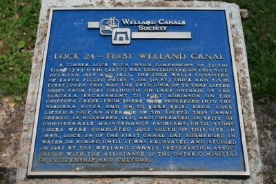
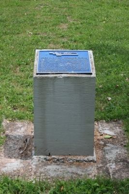
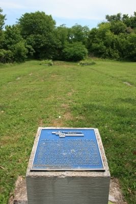
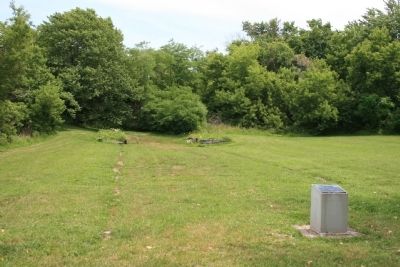
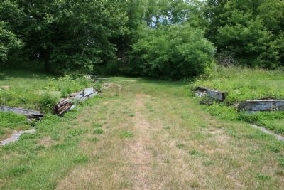
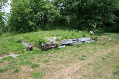
A timber lock with inside dimensions of 33.7m (108 ft.) by 6.6m (22 ft.) was constructed on this site between 1824 and 1827. The lock walls consisted of earth filled cribs 5.2m (16 ft) thick and 7.6m (25 ft) deep. This was the 24th lock of 39 that lifted ships from Port Dalhousie on Lake Ontario up the Niagara Escarpment to Port Robinson on the Chippawa Creek. From there they proceeded into the Niagara River and on to Lake Erie. Each lock lifted a ship an average of 3m (10ft). This canal opened in November 1829 and operated in spite of considerable maintenance problems, until stone locks were completed just south of this site in 1845. Lock 24 of the first canal lay submerged in water or buried until it was excavated and studied in 1987 by the Welland Canals Preservation Association with the assistance of the Ontario Ministry of Citizenship and Culture.
Erected by Welland Canals Society.
Topics. This historical marker is listed in these topic lists: Colonial Era • Industry & Commerce • Waterways & Vessels. A significant historical month for this entry is November 1829.
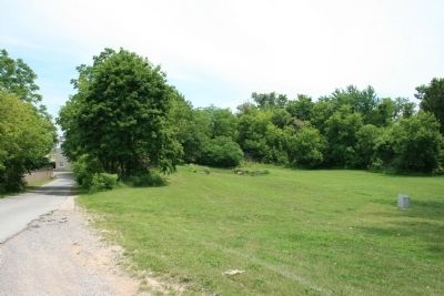
Location. 43° 8.087′ N, 79° 12.562′ W. Marker is in St. Catharines, Ontario, in Niagara Region. Marker can be reached from Merritt Street just east of Glendale Avenue, on the right when traveling east. Exit Hwy 406 at Glendale Avenue Travel east on Glendale approximately 600 meters until reaching Merritt Street. Turn right onto Merritt Street and continue for approximately 400 meters. A hidden driveway on the right hand side (between 183 and 185 Merritt Street) gives access to Mountain Locks Park. Limited parking is available on the grass at the top of the driveway. Touch for map. Marker is at or near this postal address: 183 Merritt Street, St Catharines ON L2T 1J7, Canada. Touch for directions.
Other nearby markers. At least 8 other markers are within 3 kilometers of this marker, measured as the crow flies. Old Thorold Firehall (approx. 1.3 kilometers away); In Memory of John Bean, Ph.D., M.D. (approx. 1.4 kilometers away); Arthur S. Whelan (approx. 1.4 kilometers away); Beaver Dams (approx. 1.5 kilometers away); Laura Ingersoll Secord (approx. 1.5 kilometers away); In Memory of Unknown American Soldiers (approx. 1.5 kilometers away); The Founding of Thorold (approx. 1.6 kilometers away); Vertical Lift Bridges (approx. 2.6 kilometers away).
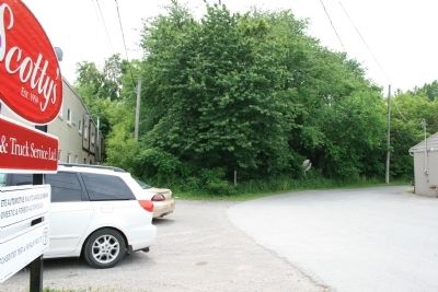
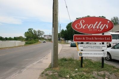
More about this marker. The driveway off of Merritt Street, that provides access to this historical marker, is indeed hidden and easy to completely miss. A useful landmark to use to help and locate this driveway is the business sign, that is very near the edge of Merritt street, of Scotty's Auto & Truck Service. It is this company's driveway,
on the uphill side of Merritt Street, that provides access to both this business facility and the Mountain Locks Park, which are both located some distance uphill and off of Merritt Street.
Also see . . .
1. The Old Welland Canals Field Guide. This is a link to information provided by the oldwellandcanals website. (Submitted on June 21, 2013, by Dale K. Benington of Toledo, Ohio.)
2. Abandoned Ontario: the old Welland Canals. This is a link to information provided by the SkyscraperCity website. (Submitted on June 21, 2013, by Dale K. Benington of Toledo, Ohio.)
3. Welland Canal. This is a link to information provided by Wikipedia, the free encyclopedia. (Submitted on June 21, 2013, by Dale K. Benington of Toledo, Ohio.)
4. First Welland Canal - Lock 24. This is a link to information provided by the niagaragreenbelt.com website. (Submitted on June 21, 2013, by Dale K. Benington of Toledo, Ohio.)
Credits. This page was last revised on September 27, 2019. It was originally submitted on June 21, 2013, by Dale K. Benington of Toledo, Ohio. This page has been viewed 885 times since then and 40 times this year. Last updated on August 2, 2014, by Anton Schwarzmueller of Wilson, New York. Photos: 1, 2, 3, 4, 5, 6, 7, 8, 9. submitted on June 21, 2013, by Dale K. Benington of Toledo, Ohio. • Bill Pfingsten was the editor who published this page.
