Niagara Falls in Niagara Region, Ontario — Central Canada (North America)
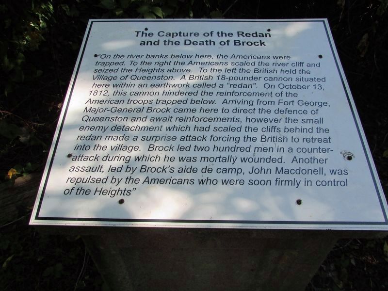
The Capture of the Redan and the Death of Brock
Inscription.
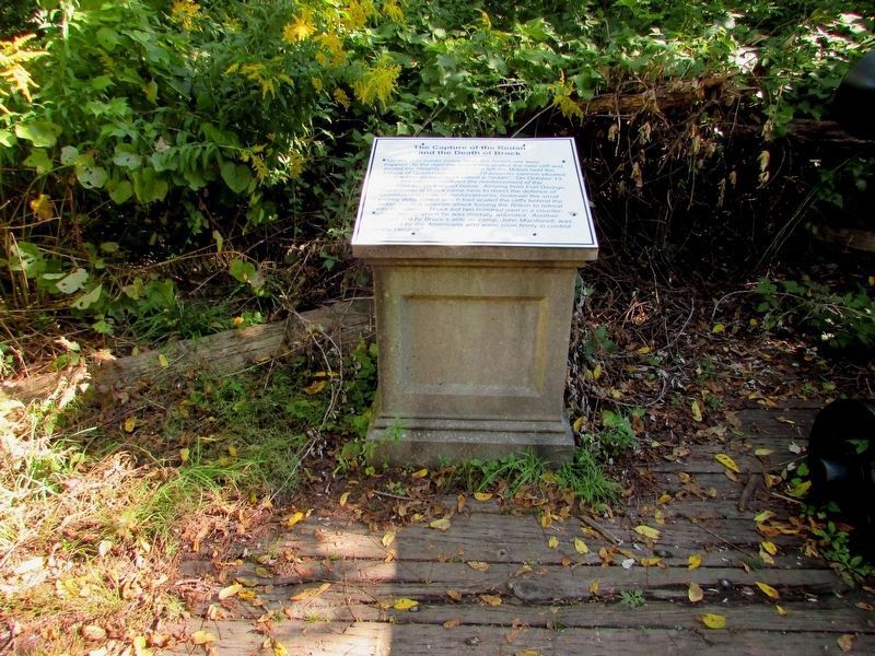
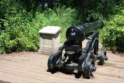
On the river banks below here, the Americans were trapped. To the right the Americans scaled the river cliff and seized the Heights above. To the left the British held the Village of Queenston. A British 18-pounder cannon situated here within an earthwork called a "redan". On October 13, 1812, this cannon hindered the reinforcement of the American troops trapped below. Arriving from Fort George, Major-General Brock came here to direct the defence of Queenston and await reinforcements, however the small enemy detachment which had scaled the cliffs behind the redan made a surprise attack forcing the British to retreat into the village. Brock led two hundred men in a counter-attack during which he was mortally wounded. Another assault, led by Brock's aide de camp, John Macdonell, was repulsed by the Americans who were soon firmly in control of the Heights. (Marker Number 3.)
Topics. This historical marker is listed in this topic list: War of 1812. A significant historical month for this entry is October 1829.
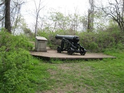
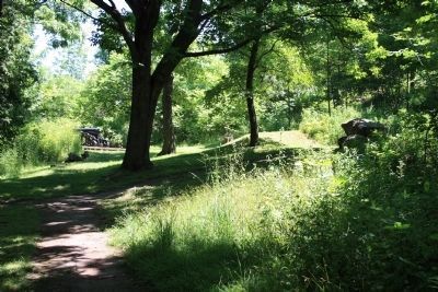
Location. 43° 9.716′ N, 79° 3.026′ W. Marker is in Niagara Falls, Ontario, in Niagara Region. Marker can be reached from Niagara Parkway, 0.4 kilometers east of York Street (Local Route 81), on the right when traveling west. This is Stop #3 of the 5-stop walking tour. It is barely visible beside a cannon downslope from a scenic lookout on the Niagara Parkway. A trail and stairs lead down to the site. Touch for map. Marker is at or near this postal address: 14340 Niagara Parkway, Niagara Falls ON L0S 1J0, Canada. Touch for directions.
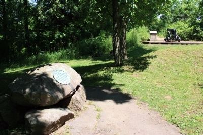
Other nearby markers. At least 8 other markers are within walking distance of this marker. Site of Redan Battery (here, next to this marker); The Niagara Escarpment (within shouting distance of this marker); The Counter-Offensive Takes Shape (about 150 meters away, measured in a direct line); Laura Ingersoll Secord (about 180 meters away); Roy Terrace (about 180 meters away); Attack (about 210 meters away); The Treacherous River Cliff (about 210 meters away); The Decisive Battle (approx. 0.2 kilometers away).
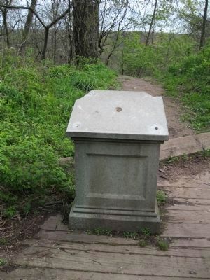
More about this marker. The bronze marker is missing and only the stand is present beside a cannon.
Regarding The Capture of the Redan and the Death of Brock. Nearby is another marker on a group of boulders describing the site of "Redan Battery"
Related markers. Click here for a list of markers that are related to this marker. To better understand the relationship, study each marker in the order shown.
Credits. This page was last revised on September 30, 2019. It was originally submitted on May 3, 2012, by David Graff of Halifax, Nova Scotia. This page has been viewed 840 times since then and 26 times this year. Last updated on August 2, 2014, by Anton Schwarzmueller of Wilson, New York. Photos: 1. submitted on September 20, 2019, by Bill Coughlin of Woodland Park, New Jersey. 2. submitted on May 3, 2012, by David Graff of Halifax, Nova Scotia. 3. submitted on September 20, 2019, by Bill Coughlin of Woodland Park, New Jersey. 4. submitted on May 3, 2012, by David Graff of Halifax, Nova Scotia. 5, 6, 7. submitted on June 28, 2012, by Dale K. Benington of Toledo, Ohio. • Bill Pfingsten was the editor who published this page.
