Little Falls in Herkimer County, New York — The American Northeast (Mid-Atlantic)
Mohawk River
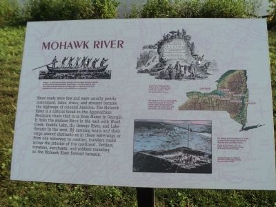
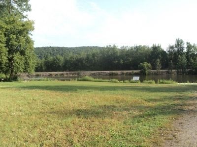
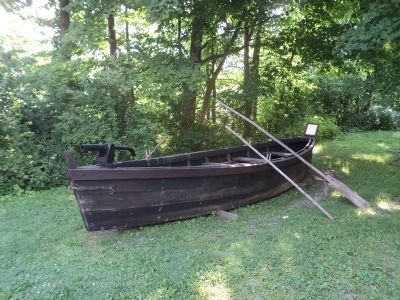
Since roads were few and were usually poorly maintained, lakes, rivers, and steams became the highways of colonial America. The Mohawk River is a natural break in the Appalachian Mountain chain that runs from Maine to Georgia. It links the Hudson River in the east with Wood Creek, Oneida Lake, the Oswego River, and Lake Ontario in the west. By carrying boats and their cargo around obstructions in these waterways or from one waterway to another, travelers could access the interior of the continent. Settlers, travelers, merchants, and soldiers traveling on the Mohawk River favored bateaux.
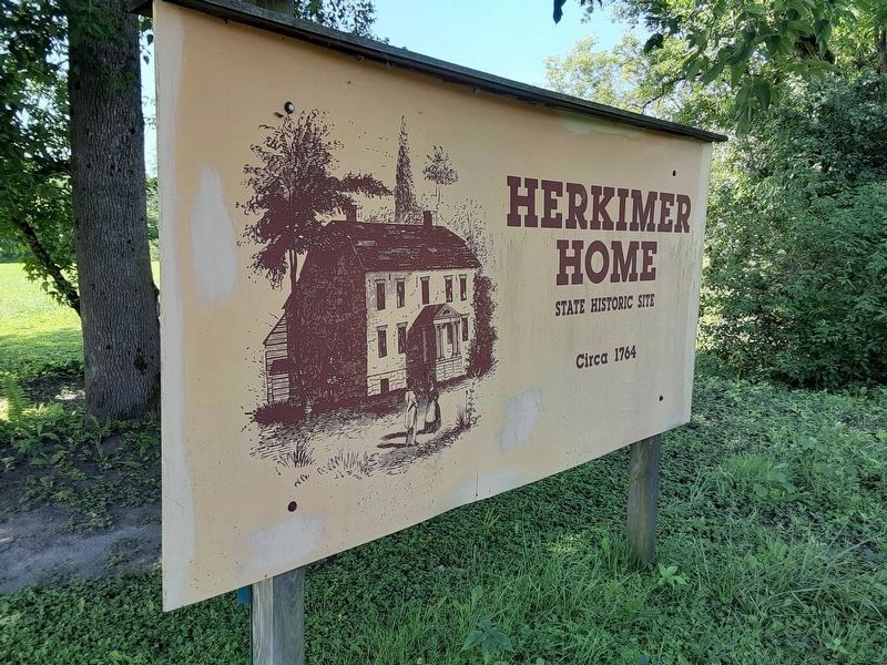
Erected by Herkimer Home State Historic Site.
Topics. This historical marker is listed in these topic lists: Colonial Era • Waterways & Vessels.
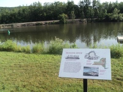
Location. 43° 1.827′ N, 74° 48.867′ W. Marker is in Little Falls, New York, in Herkimer County. Marker can be reached from New York State Route 169, on the right when traveling north. Marker is located on the grounds of the Herkimer Home State Historic Site. Touch for map. Marker is in this post office area: Little Falls NY 13365, United States of America. Touch for directions.
Other nearby markers. At least 8 other markers are within walking distance of this marker. The Palatines (about 700 feet away, measured in a direct line); General Nicholas Herkimer's Mansion (approx. 0.2 miles away); The Bateau (approx. 0.2 miles away); From This Point (approx. 0.2 miles away); In Memory of the Men (approx. ¼ mile away); General Nicholas Herkimer Monument (approx. ¼ mile away); Herkimer Homestead Cemetery (approx. ¼ mile away); General Nicholas Herkimer (approx. ¼ mile away). Touch for a list and map of all markers in Little Falls.
More about this marker. Several illustrations appear on the marker. At the upper left is a picture of men rowing a bateaux with a caption of “Bateaux, or flat-bottomed boats, floated in shallow water and were pointed at both ends for maneuverability. Area farmers used these boats to send their wheat and peas downriver to Albany and New York and their fresh vegetables and dairy products to the British forts to the west.”
A picture at the upper right of the marker shows colonists trading furs with Indians by a waterfall. The caption reads “Detail from William Faden, A Map of the Inhabited Part of Canada, London, 1777. Courtesy Winterthur Museum.”
Below this is a map of New York State indicating the locations of waterways used to cross the state and other significant landmarks. These include Hudson River, Mohawk River, Herkimer Home, Wood Creek, Fort Stanwix, Oneida Lake, Oswego River and Lake Ontario. It has a caption of “The Mohawk River was strategically important because it linked the Hudson River and the Atlantic Ocean with the Great Lakes and the interior of North America.”
The picture Sunrise at Fort Stanwix, 1927, by Edward P. Buyck, reproduced courtesy of the Rome Historical Society is at the bottom right of the marker and includes a caption of “The British built Fort Stanwix in 1758 to protect the portage between the Mohawk River and Wood Creek.”
Credits. This page was last revised on July 27, 2020. It was originally submitted on August 4, 2014, by Bill Coughlin of Woodland Park, New Jersey. This page has been viewed 465 times since then and 24 times this year. Photos: 1, 2. submitted on August 4, 2014, by Bill Coughlin of Woodland Park, New Jersey. 3. submitted on July 25, 2020, by Scott J. Payne of Deposit, New York. 4, 5, 6. submitted on August 4, 2014, by Bill Coughlin of Woodland Park, New Jersey.
