Bladensburg in Prince George's County, Maryland — The American Northeast (Mid-Atlantic)
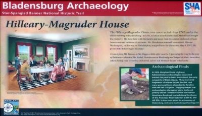
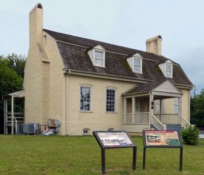
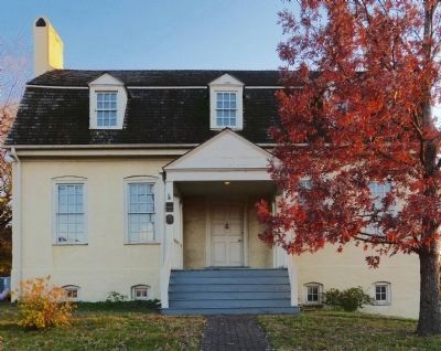
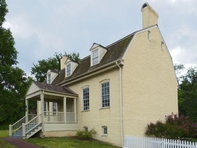
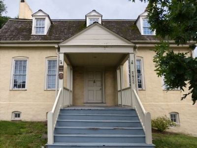
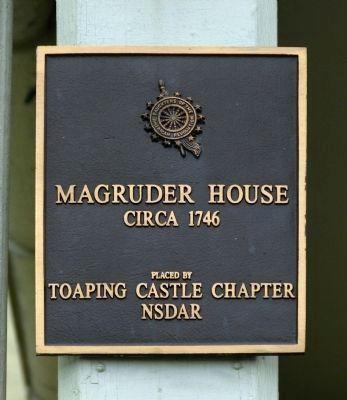
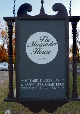
Hilleary-Magruder House
Bladensburg Archaeology
— Star-Spangled Banner Historic Trail —
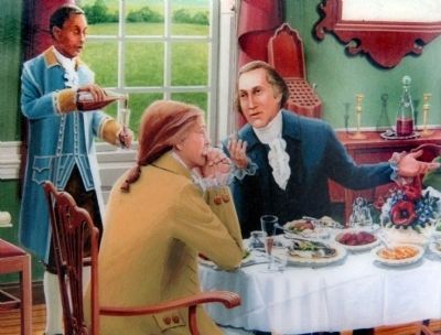
The Hilleary-Magruder House was constructed circa 1742 and is the oldest building in Bladensburg, In 1763, Scottish merchant Richard Henderson bought the property . He lived here with his family and more than two dozen enslaved African Americans and indentured servants. Mr. Henderson was well connected. George Washington, on his way to Philadelphia, stopped here for dinner on May 9, 1887. He penned the following in his diary:
Crossed from Mt. Vernon to Mr. Digges a little after sunrise & pursuing the rout by way of Baltimore - dined at Mr. Richd. Hendersons in Bladensbg and lodged with Muir. Snowdens where feeling very serverly a violent hd. ach & sick Stomach I went to bed early.
Erected 2014 by The Maryland State Highway Administration.
Topics and series. This historical marker is listed in these topic lists: African Americans • Colonial Era • Settlements & Settlers. In addition, it is included in the Daughters of the American Revolution series list. A significant historical month for this entry is May 1876.
Location. 38° 56.347′ N, 76° 56.266′ W. Marker is in Bladensburg, Maryland, in Prince George's County. Marker is at the intersection of Annapolis Road (Maryland Route 450) and Kenilworth Avenue when traveling east on Annapolis Road. Touch for map. Marker is at or near this postal address: 4703 Annapolis Road, Bladensburg MD 20710, United States of America. Touch for directions.
Other nearby markers. At least 8 other markers are within walking distance of this marker. Casualties of War (a few steps from this marker); The Market Square & Stone House (about 300 feet away, measured in a direct line); Bostwick (about 700 feet away); World War II Honor Roll (approx. 0.2 miles away); Peace Cross (approx. 0.2 miles away); Veterans Memorial (approx. 0.2 miles away); British Stopover (approx. 0.2 miles away); A Workplace of Many Generations (approx. 0.2 miles away). Touch for a list and map of all markers in Bladensburg.
Photographed By Allen C. Browne, August 2, 2014
3. Archaeology
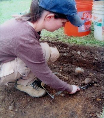
In 2009, Maryland State Highway Administration archaeologists excavated around the yard to learn more about the early occupants of Bladensburg. They recovered fragments of broken dishes, bottle, and many personal items discarded by families over the last 250 years. Digging deeper, the archaeologists discovered stone tools and pottery sherds - direct evidence that Native Americans lived and hunted along the shores of the Anacostia River between 6,900 BC and AD 850.To learn more about the archaeology of Bladensburg, visit www.bladensburgarchaeology.com.Close-up of photo on marker
Credits. This page was last revised on September 29, 2020. It was originally submitted on August 4, 2014, by Allen C. Browne of Silver Spring, Maryland. This page has been viewed 800 times since then and 44 times this year. Photos: 1, 2, 3, 4, 5, 6, 7, 8, 9, 10. submitted on August 4, 2014, by Allen C. Browne of Silver Spring, Maryland. • Bill Pfingsten was the editor who published this page.
