Near Fort Washington in Prince George's County, Maryland — The American Northeast (Mid-Atlantic)
Northwest Bastion
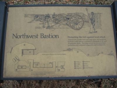
Protecting the fort against land attack
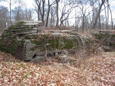
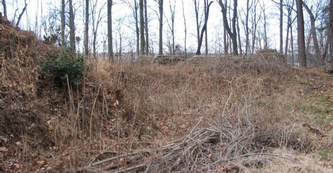
Armed with smaller field and siege guns, the landward bastions could deliver a sustained cannonade of 12- and 30-pounder shells. The long central traverse provided protection and contained magazines and bombproofs.
Topics and series. This historical marker is listed in these topic lists: Forts and Castles • War, US Civil. In addition, it is included in the Defenses of Washington series list.
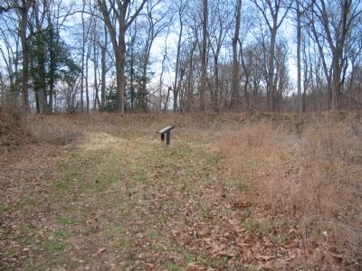
Location. Marker has been reported permanently removed. It was located near 38° 46.08′ N, 77° 1.732′ W. Marker was near Fort Washington, Maryland, in Prince George's County. Marker could be reached from Fort Foote Road, on the right when traveling west. Located inside the Fort Foote National Park. Touch for map. Marker was in this post office area: Fort Washington MD 20744, United States of America.
We have been informed that this sign or monument is no longer there and will not be replaced. This page is an archival view of what was.
Other nearby markers. At least 8 other markers are within walking distance of this location. Engineering Evolution (within shouting distance of this marker); Ironclad Killer (within shouting distance of this marker); Another Shot (within shouting distance of this marker); Load. Ready. Fire! (within shouting distance of this marker); Capital View (within shouting distance of this marker); Reporting for Duty (within shouting distance of this marker); New Forts for a New War (about 300 feet away, measured in a direct line); Welcome To Fort Foote (about 600 feet away). Touch for a list and map of all markers in Fort Washington.
More about this marker. The upper portion of the marker contains a depiction of the guns of the bastion brought into action. The lower portion of the marker contains a Section profile drawing of the Northwest Bastion and a overhead Interior plan of magazine and bombproof rooms located in the central traverse. The drawings are keyed with annotations for (1) Abatis, (2) Parapet, (3) Ditch, (4) Magazine, (5) Bombproof, (6) Glacis, (7) Gallery, and (8) Central Traverse.
Also see . . . Fort Foote Park. National Park Service site providing a short history of the fort. (Submitted on May 6, 2008, by Craig Swain of Leesburg, Virginia.)
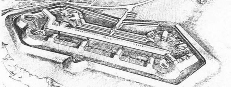
via NPS, unknown
2. Fort Foote tour by markers
Links to associated HMDb entries
Click for more information.
Click for more information.
Credits. This page was last revised on September 30, 2022. It was originally submitted on May 6, 2008, by Craig Swain of Leesburg, Virginia. This page has been viewed 1,615 times since then and 6 times this year. Last updated on December 1, 2021, by Allen C. Browne of Silver Spring, Maryland. Photos: 1. submitted on May 6, 2008, by Craig Swain of Leesburg, Virginia. 2. submitted on March 25, 2022, by Larry Gertner of New York, New York. 3, 4, 5. submitted on May 6, 2008, by Craig Swain of Leesburg, Virginia. • Bill Pfingsten was the editor who published this page.
