Near Northwest in South Bend in St. Joseph County, Indiana — The American Midwest (Great Lakes)
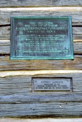
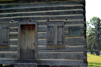
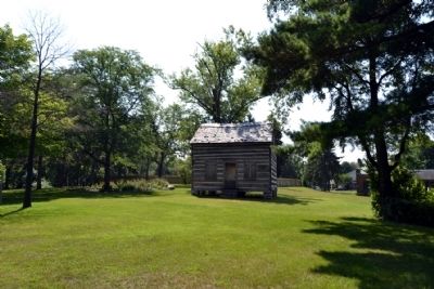
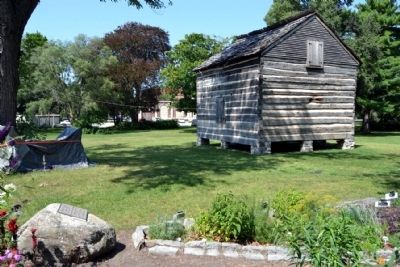
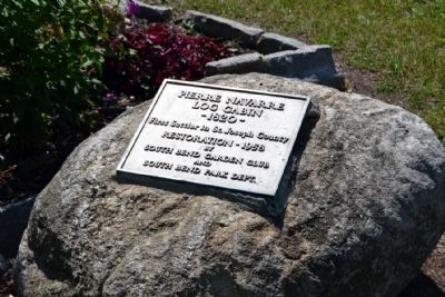
Pierre Freischutz Navarre Log Cabin
Was Erected In 1820 By
Pierre Freischutz Navarre
Pioneer Fur-Trader
The first white man to settle in this community. The cabin was originally located on the north bank of the St. Joseph River about five-hundred feet northwest of the Michigan Street Bridge. Moved to this site in 1904.
Erected 1941 by Northern Indiana Historical Society.
Topics. This historical marker is listed in this topic list: Settlements & Settlers. A significant historical year for this entry is 1820.
Location. 41° 41.165′ N, 86° 14.938′ W. Marker is in South Bend, Indiana, in St. Joseph County. It is in Near Northwest. Marker can be reached from Riverside Drive, 0.1 miles east of N. Michigan Street (State Road 933), on the right when traveling east. Marker is located on the east side of Leeper Park on the south side of Riverside Drive. Touch for map. Marker is in this post office area: South Bend IN 46601, United States of America. Touch for directions.
Other nearby markers. At least 8 other markers are within walking distance of this marker. Pierre Navarre Log Cabin (a few steps from this marker); Powell House (within shouting distance of this marker); United States Constitution Bicentennial (within shouting distance of this marker); History of the 1906 Studebaker Electric Fountain (approx. 0.2 miles away); Jewish Cemetery Site (approx. ¼ mile away); On This Site South Bend Was Founded (approx. half a mile away); Camp Rose (approx. half a mile away); Lincoln & Dixie Highways (approx. 0.7 miles away). Touch for a list and map of all markers in South Bend.
Also see . . . Early History of St. Joseph County. From the Center of History website. Includes a section with a photo on Pierre Navarre. (Submitted on August 20, 2014.)
Credits. This page was last revised on February 4, 2023. It was originally submitted on August 20, 2014, by Duane Hall of Abilene, Texas. This page has been viewed 895 times since then and 39 times this year. Photos: 1, 2, 3, 4, 5. submitted on August 20, 2014, by Duane Hall of Abilene, Texas.
