Near Farnham in Northumberland County, Virginia — The American South (Mid-Atlantic)
Richmond County / Northumberland County
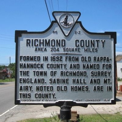
Richmond County. Area 204 Square Miles. Formed in 1692 from Old Rappahannock County, and named for the town of Richmond, Surrey, England. Sabine Hall and Mount Airy, noted old homes, are in this county.
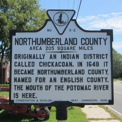
Northumberland County. Area 205 Square Miles. Originally an Indian District called Chickacoan. In 1648 it became Northumberland County, named for an English county. The mouth of the Potomac River is here.
Erected 1928 by Conservation & Development Commission. (Marker Number Z-2.)
Topics and series. This historical marker is listed in these topic lists: Government & Politics • Native Americans • Political Subdivisions • Settlements & Settlers. In addition, it is included in the Virginia Department of Historic Resources (DHR) series list. A significant historical year for this entry is 1692.
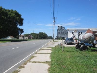
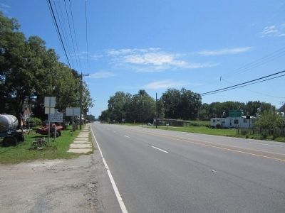
Location. 37° 56.947′ N, 76° 36.332′ W. Marker is near Farnham, Virginia, in Northumberland County. Marker is at the intersection of Richmond Road (U.S. 360) and Normans Corner Road (Virginia Route 617), on the left when traveling east on Richmond Road. Touch for map. Marker is at or near this postal address: 14528 Richmond Rd, Farnham VA 22460, United States of America. Touch for directions.
Other nearby markers. At least 8 other markers are within 5 miles of this marker, measured as the crow flies. Greater love hath no man than this (approx. 1.7 miles away); The Rev. Paymus Nutt (approx. 1.8 miles away); Chambers Stamp Factory (approx. 2˝ miles away); British Attacks at Kinsale and Muddy Point / The War of 1812 (approx. 3.8 miles away); The War of 1812 / British Attacks at Kinsale and Mundy Point (approx. 3.8 miles away); Northumberland County / Westmoreland County (approx. 4.2 miles away); Cherry Point and Cowart’s Wharf (approx. 4.4 miles away); North Farnham Church (approx. 4˝ miles away).
Credits. This page was last revised on July 9, 2021. It was originally submitted on August 21, 2014, by Bernard Fisher of Richmond, Virginia. This page has been viewed 495 times since then and 31 times this year. Photos: 1, 2, 3, 4. submitted on August 21, 2014, by Bernard Fisher of Richmond, Virginia.


