Lawrence Cultural District in Douglas County, Kansas — The American Midwest (Upper Plains)
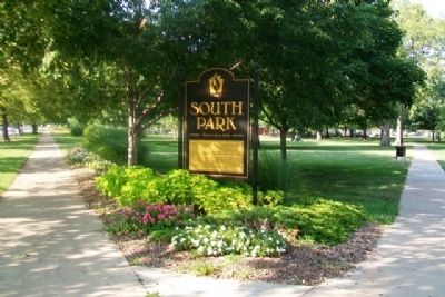
South Park
Established 1854
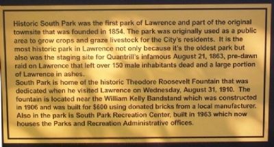
Historic South Park was the first park of Lawrence and part of the original townsite that was founded in 1854. The park was originally used as a public area to grow crops and graze livestock for the City's residents. It is the most historic park in Lawrence not only because it's the oldest park but also was the staging site for Quantrill's infamous August 21, 1863, pre-dawn raid on Lawrence that left over 150 male inhabitants dead and a large portion of Lawrence in ashes.
South Park is home of the historic Theodore Roosevelt Fountain that was dedicated when he visited Lawrence on Wednesday, August 31, 1910. The fountain is located near the William Kelly Bandstand which was constructed in 1906 and was built for $600 using donated bricks from a local manufacturer. Also in the park is South Park Recreation Center, built in 1963 which now houses the Parks and Recreation Administrative offices.
Erected by City of Lawrence.
Topics. This historical marker is listed in this topic list: Settlements & Settlers. A significant historical year for this entry is 1854.
Location. 38° 57.65′ N, 95° 14.142′ W. Marker is in Lawrence, Kansas, in Douglas County. It is in the Lawrence Cultural District. Marker is at the intersection of Massachusetts Street and South Park Street, on the right when traveling north on Massachusetts Street. Touch for map. Marker is at or near this postal address: 1141 Massachusetts Street, Lawrence KS 66044, United States of America. Touch for directions.
Other nearby markers. At least 8 other markers are within walking distance of this marker. The Castle Tea Room (about 400 feet away, measured in a direct line); Douglas County Courthouse (approx. 0.2 miles away); Lawrence Masonic Temple (approx. 0.3 miles away); Trinity Episcopal Church (approx. 0.3 miles away); First United Methodist Church (approx. 0.3 miles away); The Victory Eagle (approx. 0.4 miles away); The WheatFields Oven (approx. 0.4 miles away); Lawrence City [Carnegie] Library (approx. half a mile away). Touch for a list and map of all markers in Lawrence.
Also see . . . History of South Park. (Submitted on August 28, 2014, by William Fischer, Jr. of Scranton, Pennsylvania.)
Credits. This page was last revised on February 10, 2023. It was originally submitted on August 28, 2014, by William Fischer, Jr. of Scranton, Pennsylvania. This page has been viewed 538 times since then and 49 times this year. Photos: 1, 2. submitted on August 28, 2014, by William Fischer, Jr. of Scranton, Pennsylvania.

