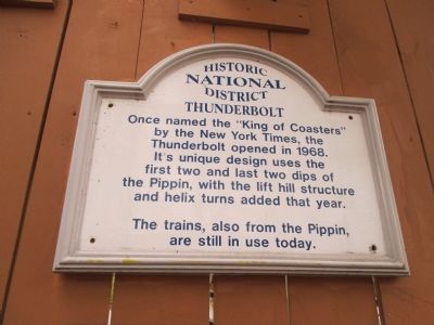
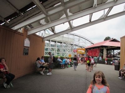
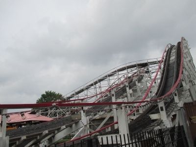
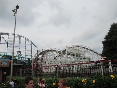
Thunderbolt
National Historic District
The trains, also from the Pippin, are still in use today.
Topics. This historical marker is listed in this topic list: Entertainment. A significant historical year for this entry is 1968.
Location. 40° 23.317′ N, 79° 51.88′ W. Marker is in West Mifflin, Pennsylvania, in Allegheny County. Marker can be reached from Kennywood Boulevard. Marker is on the grounds of Kennywood, an amusement park operating seasonally since 1898. Admission fee required. Touch for map. Marker is at or near this postal address: 4800 Kennywood Boulevard, West Mifflin PA 15122, United States of America. Touch for directions.
Other nearby markers. At least 8 other markers are within walking distance of this marker. Kennywood's Thunderbolt (here, next to this marker); The Turtle (within shouting distance of this marker); Miniature Railroad (within shouting distance of this marker); The Pagoda (about 300 feet away, measured in a direct line); Noah's Ark (about 300 feet away); Laffin' Sal (about 300 feet away); Auto Race (about 300 feet away); Andrew Stephen McSwigan (about 400 feet away). Touch for a list and map of all markers in West Mifflin.
More about this marker.
Also see . . .
1. Kennywood. (Submitted on August 29, 2014, by Anton Schwarzmueller of Wilson, New York.)
2. Kennywood - Wikipedia. (Submitted on August 29, 2014, by Anton Schwarzmueller of Wilson, New York.)
Credits. This page was last revised on June 16, 2016. It was originally submitted on August 29, 2014, by Anton Schwarzmueller of Wilson, New York. This page has been viewed 299 times since then and 5 times this year. Photos: 1, 2, 3, 4. submitted on August 29, 2014, by Anton Schwarzmueller of Wilson, New York. • Bill Pfingsten was the editor who published this page.


