West Liberty in Logan County, Ohio — The American Midwest (Great Lakes)
Onion Ditch Bridge
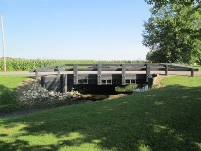
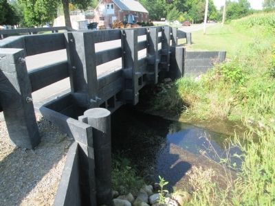
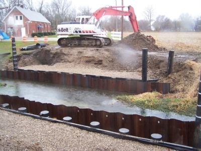
First Plastic Bridge in Ohio
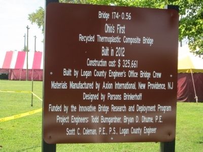
Inscription.
Ohio’s first
recycled thermoplastic composite bridge
Built in 2012
Construction cost $325,661
Built by Logan County Engineer’s Office Bridge Crew
Materials manufactured by Axion, New Providence, NJ
Designed by Parsons Brickeroff
Funded by the Innovative Bridge Research and Deployment Program
Project engineers: Todd Bumgardner, Bryan Dhume, P.E.
Scott C. Coleman, P.E., P.S., Logan County Engineer
Erected 2013 by Logan County Engineer's Office.
Topics. This historical marker is listed in this topic list: Bridges & Viaducts.
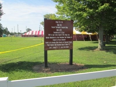
Location. 40° 15.339′ N, 83° 44.717′ W. Marker is in West Liberty, Ohio, in Logan County. Marker is on Pickrelltown Road (Local Route 174) half a mile east of U S Rt 68 (U.S. 68), in the median. traveling east from US 68 (N Detroit Str) on Pickrelltown Rd (174) the first bridge is over Mad River, the second is this new bridge over Onion Ditch at the Lion's Club Park. onion Run Ditch is often mistaken for Mac-O-Chee Creek, but it is NOT. Touch for map. Marker is at or near this postal address: 576 Township Road 174, West Liberty OH 43357, United States of America. Touch for directions.
Other nearby markers. At least 8 other markers are within walking distance of this marker. West Liberty Lion's Club Park (about 500 feet away, measured in a direct line); Shawnee Nation in Logan County / Shawnee Villages in Logan County (approx. 0.6 miles away); West Liberty World War I Memorial (approx. 0.6 miles away); Sherman M. Ricketts (approx. 0.6 miles away); Hull's Trace / Moluntha (approx. 0.6 miles away); West Liberty Veterans Memorial (approx. 0.6 miles away); Michael Lane Partin (approx. 0.7 miles away); West Liberty / Glover Hall (approx. 0.7 miles away). Touch for a list and map of all markers in West Liberty.
Credits. This page was last revised on October 10, 2020. It was originally submitted on September 2, 2014, by Rev. Ronald Irick of West Liberty, Ohio. This page has been viewed 765 times since then and 17 times this year. Photos: 1, 2, 3, 4, 5. submitted on September 2, 2014, by Rev. Ronald Irick of West Liberty, Ohio. 6. submitted on October 10, 2020, by Robert Baughman of Bellefontaine, Ohio. • Al Wolf was the editor who published this page.
