Lockport in Niagara County, New York — The American Northeast (Mid-Atlantic)
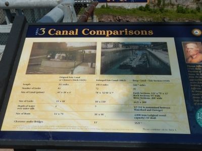
Canal Comparisons
Inscription.
To see the comparison table click on the image to the right to enlarge it
Sidebar on the right
Thomas Jefferson (1743-1826)
Was the third President of the United States. In 1808 a delegation from the state of New York approached him hoping to secure federal funds for building the Erie Canal. Jefferson refuses because he thought that the project would bankrupt the United States Treasury. New York State assumed the entire cost of constructing the canal.
Erected by New York State Canals. (Marker Number 3.)
Topics and series. This historical marker is listed in this topic list: Waterways & Vessels. In addition, it is included in the Erie Canal, and the Former U.S. Presidents: #03 Thomas Jefferson series lists. A significant historical year for this entry is 1808.
Location. 43° 10.173′ N, 78° 41.659′ W. Marker is in Lockport, New York, in Niagara County. Marker is on Main Street near Cottage Street, on the right when traveling west. Touch for map. Marker is at or near this postal address: 2 Main Street, Lockport NY 14094, United States of America. Touch for directions.
Other nearby markers. At least 8 other markers are within walking distance of this marker. Big Bridge (within shouting distance of this marker); a different marker also named The “Big Bridge” (within shouting distance of this marker); “Lockport Flight of Five” (within shouting distance of this marker); Upson Park (within shouting distance of this marker); Lockport Municipal Building (within shouting distance of this marker); Tour Boat Then & Now (about 300 feet away, measured in a direct line); Lower Lock Construction (about 300 feet away); Bacon-Merchant-Moss House (about 400 feet away). Touch for a list and map of all markers in Lockport.
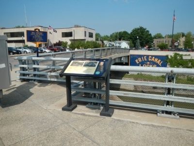
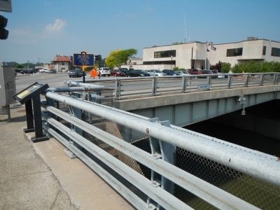
More about this marker. This marker is at the southeast corner of the "Big Bridge."
Credits. This page was last revised on August 5, 2020. It was originally submitted on September 7, 2014, by Barry Swackhamer of Brentwood, California. This page has been viewed 361 times since then and 9 times this year. Photos: 1, 2, 3. submitted on September 7, 2014, by Barry Swackhamer of Brentwood, California. • Bill Pfingsten was the editor who published this page.


