Atlantic Beach in Carteret County, North Carolina — The American South (South Atlantic)
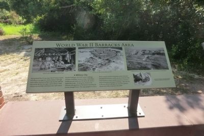
World War II Barracks Area
A Military City
During World War II (1941-1945) the US Army occupied Fort Macon once again for military defense. Although some soldiers lived and worked inside the fort itself, the area outside the fort once again came to life as a small military city, much like it had been in the 19th century.
Barracks buildings, mess halls, latrine buildings, recreation buildings, mechanic shops, workshops, warehouses and roads were built by the army to support the troops. In doing this, however, the character and appearance of the land surrounding the fort was changed forever. The army pumped in sand to fill the marshes and low-lying areas north of the fort, and raised the elevation north and west of the fort with sand and clay to create suitable new land on which to build its barracks and support buildings. After the end of the war, all the buildings were removed, and Fort Macon State Park reopened to the public.
(captions)
(upper left) Interior of a soldier’s barracks buildings outside Fort Macon.
(upper center) Aerial view of Fort Macon looking northeast about 1943.
(upper right) Looking northward from Fort Macon in 1943 shows the military city that existed outside the fort during World War II.
(lower right) Aerial view of Fort Macon in January 1945 showing wartime army buildings erected outside the fort.
Topics. This historical marker is listed in these topic lists: Forts and Castles • War, World II. A significant historical month for this entry is January 1945.
Location. 34° 41.839′ N, 76° 40.728′ W. Marker is in Atlantic Beach, North Carolina, in Carteret County. Marker can be reached from East Fort Macon Road (County Route 1190) 3.6 miles east of Atlantic Beach Causeway (County Route 1182). The marker is located on the grounds of the Fort Macon State Park. Touch for map. Marker is in this post office area: Atlantic Beach NC 28512, United States of America. Touch for directions.
Other nearby markers. At least 8 other markers are within walking distance of this marker. The Military Post of Fort Macon in the Nineteenth Century (here, next to this marker); Fort Macon in the 1920s and 1930s (a few steps from this marker); World War II Defenses (a few steps from this marker); Fort Macon Coast Guard Station (within shouting distance of this marker); 30-Pounder Parrott Rifle (within shouting distance of this marker); Officers Quarters at Fort Macon (within shouting distance of this marker); Cistern (within shouting distance of this marker); Bogue Banks Lighthouse (within shouting distance of this marker). Touch for a list and map of all markers in Atlantic Beach.
Also see . . . Fort Macon State Park. N.C. Division of Parks & Recreation (Submitted on September 15, 2014.)
Credits. This page was last revised on June 16, 2016. It was originally submitted on September 12, 2014, by Don Morfe of Baltimore, Maryland. This page has been viewed 351 times since then and 5 times this year. Photo 1. submitted on September 12, 2014, by Don Morfe of Baltimore, Maryland. • Bernard Fisher was the editor who published this page.
