Ansonville in Anson County, North Carolina — The American South (South Atlantic)
Ralf Freeman
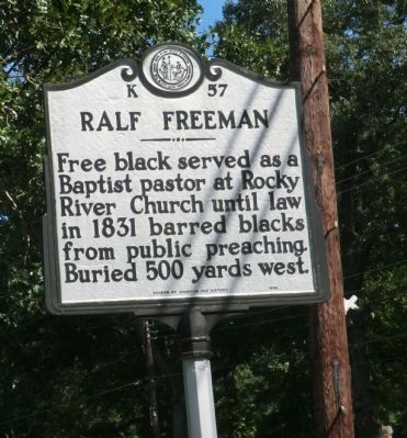
Free black served as a Baptist pastor at Rocky River Church until law in 1831 barred blacks from public preaching. Buried 500 yards west.
Erected 1998 by Division of Archives and History. (Marker Number K-57.)
Topics and series. This historical marker is listed in these topic lists: African Americans • Cemeteries & Burial Sites • Churches & Religion. In addition, it is included in the North Carolina Division of Archives and History series list. A significant historical year for this entry is 1831.
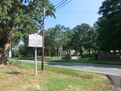
Location. 35° 5.868′ N, 80° 6.384′ W. Marker is in Ansonville, North Carolina, in Anson County. Marker is at the intersection of Main Street (U.S. 52) and Cemetery Street, on the right when traveling south on Main Street. Touch for map. Marker is in this post office area: Wadesboro NC 28170, United States of America. Touch for directions.
Other nearby markers. At least 8 other markers are within 10 miles of this marker, measured as the crow flies. Carolina Female College, 1850-67 (approx. half a mile away); Colson's Supply Depot (approx. 6.4 miles away); Fight at Colson's (approx. 6.7 miles away); Brown Creek Soil Conservation District (approx. 8 miles away); Hugh Hammond Bennett (approx. 8.2 miles away); Anson County Training School (approx. 8˝ miles away); Leonidas L. Polk (approx. 9 miles away); Boggan-Hammond House (approx. 9.2 miles away).
Credits. This page was last revised on June 22, 2021. It was originally submitted on September 22, 2014, by Don Morfe of Baltimore, Maryland. This page has been viewed 623 times since then and 32 times this year. Photos: 1, 2. submitted on September 22, 2014, by Don Morfe of Baltimore, Maryland. • Bernard Fisher was the editor who published this page.

