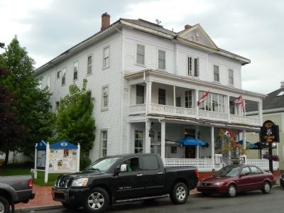
St. Andrews in Charlotte County, New Brunswick — The Atlantic Provinces (North America)
St. Andrews Historic District
Arrondissement Historique de St. Andrews
Inscription.
English
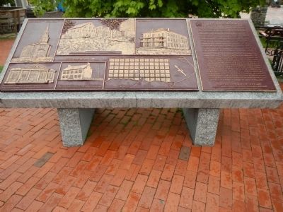
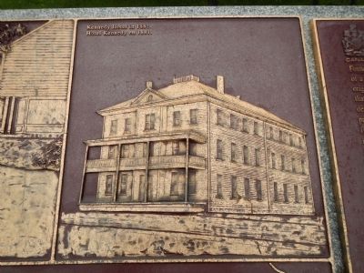
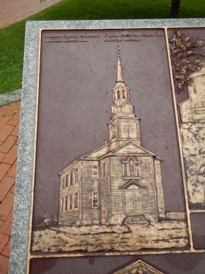
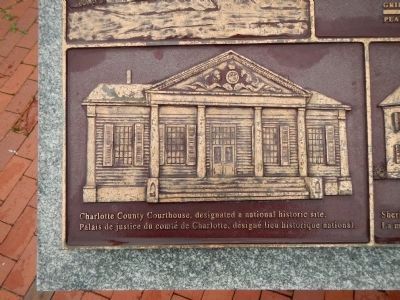
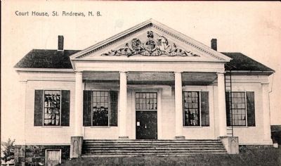
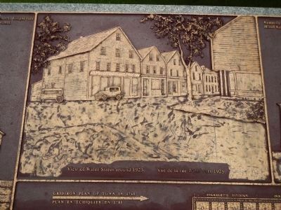
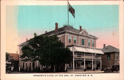
Founded by Loyalists in 1783, St. Andrews is a fine and rare surviving example of a Canadian town whose plan and character clearly reflect its 18th-century origins. The town retains the four key elements of a British colonial settlement of that period; a gridiron plan, provision for public spaces, well-defined sites for defensive works, and a common area surrounding the original townsite to provide a clear delineation between settled and non-settled area. St. Andrews is further distinguished by its fine collection of commercial and residential buildings spanning the town’s history, the majority of which feature design motifs inspired by British classicism. The earliest of these buildings date to the era of the founding of the town and are of wood construction with simple exterior testaments. As the local economy matured, new houses were more elaborately embellished, and the largest and most expensive were constructed of brick. The consistent use of classical architectural features, the retention of the original street layout, and the division of the town blocks into generously sized lots have resulted in a community with a distinctive appearance and a strong sense of place.
French
Fondée par les Loyaliste en 1783, St. Andrews constitue, par son plan et son caractère, l’une des rares villes du XVIIIᵉ siècle qui sont aussi bien conservée au Canada. Elle possède toujours les quatre éléments-clés des établissements des colonies britanniques de l’époque : un plan en échiquier, des espaces publics, des ouvrages défensifs bien définis et des aires communes en périphérie séparant les zones habitées de celles no habitées. St. Andrews possède aussi de beaux édifices commerciaux et résidentiels, pour la plupart d’inspiration classique britannique. Les plus anciens, en bois et d’une grande simplicité extérieure, datent de la fondation de la ville. Au fur et à mesure que l’économie locale a prospéré, des maisons plus ornementées ont été construites, dont les plus grandes et les plus cossues étaient en brique. L’omnipresence du vocabulaire architectural classique, la préservation du tracé d’origine des rues et la division des îlots en terrains aux dimensions généreuses ont produit une communauté d’allure distinctive dégageant une atmosphère particulièrement remarquable.
Erected 1998 by Historic Sites and Monument Board of Canada/Commission de lieux et monuments historique du Canada.
Topics and series. This historical marker is listed in this topic list: Settlements & Settlers. In addition, it is included in the Canada, Historic Sites and Monuments Board series list. A significant historical year for this entry is 1783.
Location. 45°
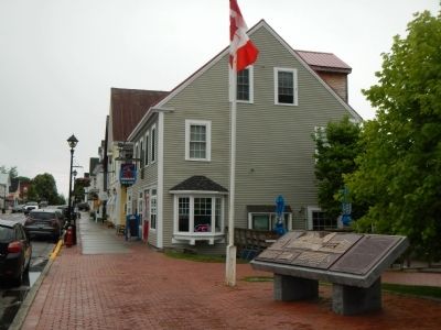
4.41′ N, 67° 3.162′ W. Marker is in St. Andrews, New Brunswick, in Charlotte County. Marker is on Water Street close to King Street, on the right when traveling east. Touch for map. Marker is at or near this postal address: 205 Water Street, St Andrews NB E5B 1B4, Canada. Touch for directions.
Other nearby markers. At least 8 other markers are within walking distance of this marker. Lest We Forget (a few steps from this marker); St. Croix River (within shouting distance of this marker); Greenock Church / L’Église Greenock (approx. 0.4 kilometers away); The 200 Million Year Wait is Over! (approx. 0.7 kilometers away); Task Force Afghanistan (approx. 0.8 kilometers away); War of 1812: Defending St. Andrews (approx. 0.8 kilometers away); Blockhouse 101 (approx. 0.8 kilometers away); Two hundred years and counting (approx. 0.8 kilometers away). Touch for a list and map of all markers in St. Andrews.
Credits. This page was last revised on August 16, 2017. It was originally submitted on September 23, 2014, by Barry Swackhamer of Brentwood, California. This page has been viewed 389 times since then and 11 times this year. Photos: 1, 2, 3, 4. submitted on September 23, 2014, by Barry Swackhamer of Brentwood, California. 5. submitted on September 26, 2014. 6, 7. submitted on September 23, 2014, by Barry Swackhamer of Brentwood, California. 8. submitted on September 26, 2014. 9. submitted on September 23, 2014, by Barry Swackhamer of Brentwood, California. • Andrew Ruppenstein was the editor who published this page.
