Marion in McDowell County, North Carolina — The American South (South Atlantic)
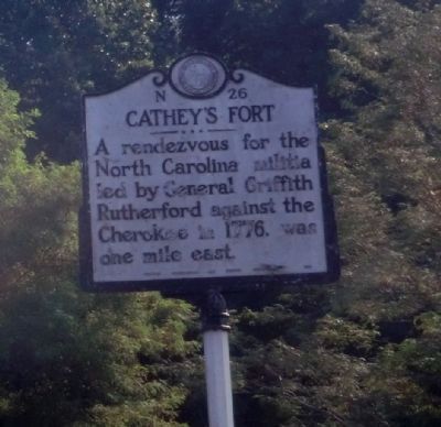
Cathey's Fort
Erected 1950 by Archives and Highway Departments. (Marker Number N-26.)
Topics and series. This historical marker is listed in these topic lists: Native Americans • Wars, US Indian. In addition, it is included in the North Carolina Division of Archives and History series list. A significant historical year for this entry is 1776.
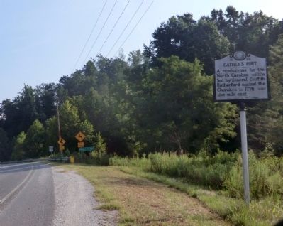
Location. 35° 47.871′ N, 82° 1.94′ W. Marker is in Marion, North Carolina, in McDowell County. Marker is at the intersection of U.S. 221 and North Carolina Highway 226, on the right when traveling north on U.S. 221. Touch for map. Marker is in this post office area: Marion NC 28752, United States of America. Touch for directions.
Other nearby markers. At least 8 other markers are within 7 miles of this marker, measured as the crow flies. Spruce Pine Mining District (approx. 4 miles away); "The Blackwater Men Had Come Over the Mountain" (approx. 4 miles away); Gillespie Gap (approx. 4 miles away); The Loops (approx. 5.3 miles away); Sounds From the Mountains (approx. 5.3 miles away); First Mountain Parkway (approx. 6 miles away); Apple Tree (approx. 6 miles away); Pleasant Gardens (approx. 6.4 miles away).
Related marker. Click here for another marker that is related to this marker. To better understand the relationship, study each marker in the order shown.
Credits. This page was last revised on June 30, 2021. It was originally submitted on September 25, 2014, by Don Morfe of Baltimore, Maryland. This page has been viewed 936 times since then and 61 times this year. Photos: 1, 2. submitted on September 25, 2014, by Don Morfe of Baltimore, Maryland. • Bernard Fisher was the editor who published this page.

