Marshfield Station in Bean's Grant in Coos County, New Hampshire — The American Northeast (New England)
Mount Washington Cog Railway
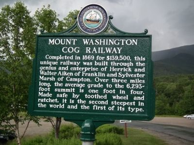
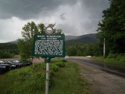
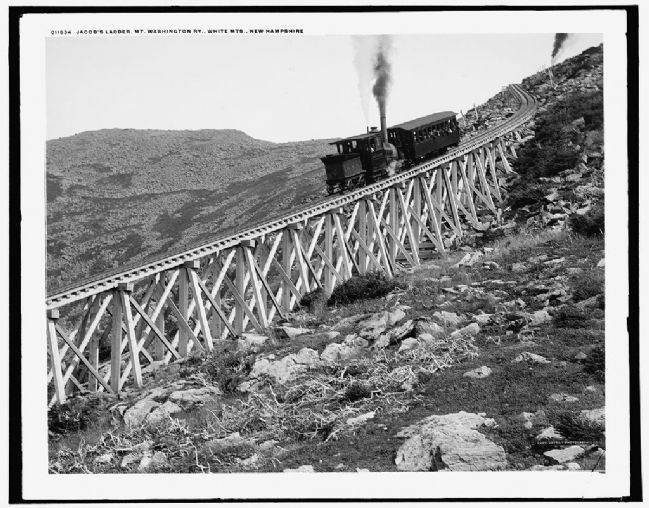
Completed in 1869 for $139,500, this unique railway was built through the genius and enterprise of Herrick and Walter Aiken of Franklin and Sylvester Marsh of Campton. Over three miles long, the average grade to the 6,293-foot summit is one foot in four. Made safe by toothed wheel and ratchet, it is the second steepest in the world and the first of its type.
Erected by New Hampshire Division of Historical Resources. (Marker Number 45.)
Topics and series. This historical marker is listed in this topic list: Railroads & Streetcars. In addition, it is included in the New Hampshire Historical Highway Markers series list. A significant historical year for this entry is 1869.
Location. 44° 16.084′ N, 71° 21.24′ W. Marker is in Bean's Grant, New Hampshire, in Coos County. It is in Marshfield Station. Marker is on Base Station Road, 5.9 miles east of U.S. 302, on the left when traveling east. Marker is located about ¼ mile before arriving at Marshfield (base) station on the left. Touch for map. Marker is in this post office area: Twin Mountain NH 03595, United States of America. Touch for directions.
Other nearby markers. At least 8 other markers are within 5 miles of this marker, measured as the crow flies. The Old Hero (approx. ¼ mile away); Mount Washington Summit (approx. 2½ miles away); Northern Peaks of Presidential Range (approx. 2.6 miles away); Crawford House (approx. 4½ miles away); Crawford Depot (approx. 4½ miles away); Mount Washington Hotel / Bretton Woods Monetary Conference (approx. 4.8 miles away); Crawford Notch (approx. 4.8 miles away); Mount Washington (approx. 4.8 miles away).
More about this marker. Warning to GPS users: Mt Clinton road from Crawford Notch to Base Station Road is closed in winter and very, very (very) rough and bumpy and narrow in summer. Not recommended for RVs (hardly recommended for cars).
Also see . . .
1. Mount Washington Cog Railway. Official website (Submitted on July 11, 2011, by Kevin Craft of Bedford, Quebec.)
2. Mount Washington Cog Railway. Wikipedia (Submitted on July 11, 2011, by Kevin Craft of Bedford, Quebec.)
Credits. This page was last revised on February 16, 2023. It was originally submitted on July 7, 2011, by Kevin Craft of Bedford, Quebec. This page has been viewed 4,062 times since then and 26 times this year. Last updated on October 8, 2014, by Kevin Craft of Bedford, Quebec. Photos: 1, 2. submitted on July 7, 2011, by Kevin Craft of Bedford, Quebec. 3. submitted on December 30, 2012. • Bill Pfingsten was the editor who published this page.


