Everest in Brown County, Kansas — The American Midwest (Upper Plains)
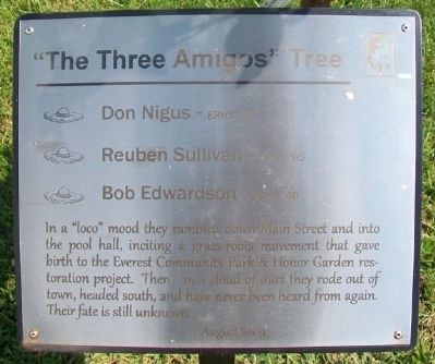
The "Three Amigos" Tree
Reuben Sullivan - ERHS '65
Bob Edwardson - ERHS '60
In a "loco" mood they rambled down Main Street and into the pool hall, inciting a grass roots movement that gave birth to the Everest Community Park & Honor Garden restoration project. Then - in a cloud of dust they rode out of town, headed south, and have never been heard from again. Their fate is still unknown.
August 2009
Topics. This historical marker is listed in this topic list: Charity & Public Work. A significant historical year for this entry is 2009.
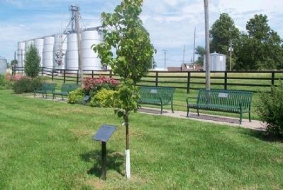
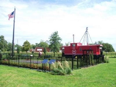
Location. 39° 40.614′ N, 95° 25.452′ W. Marker is in Everest, Kansas, in Brown County. Marker is at the intersection of 5th Street and Cedar Street, on the right when traveling north on 5th Street. Marker is in the Community Park and Honor Garden. Touch for map. Marker is in this post office area: Everest KS 66424, United States of America. Touch for directions.
Other nearby markers. At least 8 other markers are within 6 miles of this marker, measured as the crow flies. Everest 125th Anniversary (a few steps from this marker); Prairie Flower Garden (a few steps from this marker); The Founders of Everest (a few steps from this marker); Everest Honor Garden (within shouting distance of this marker); Honnell - Means Honor Garden (within shouting distance of this marker); School Bell - 1886 (about 800 feet away, measured in a direct line); First REA Project in Kansas (approx. 5.1 miles away); "Four Horsemen of the Lines" (approx. 5˝ miles away). Touch for a list and map of all markers in Everest.
Also see . . . Everest, Kansas, at Wikipedia. (Submitted on October 12, 2014, by William Fischer, Jr. of Scranton, Pennsylvania.)
Credits. This page was last revised on September 8, 2020. It was originally submitted on October 12, 2014, by William Fischer, Jr. of Scranton, Pennsylvania. This page has been viewed 393 times since then and 13 times this year. Photos: 1, 2, 3. submitted on October 12, 2014, by William Fischer, Jr. of Scranton, Pennsylvania.


