Coconut Grove in Miami-Dade County, Florida — The American South (South Atlantic)
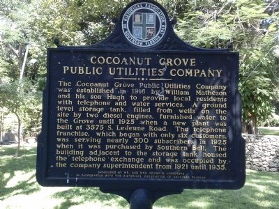
Cocoanut Grove Public Utilities Company
Inscription.
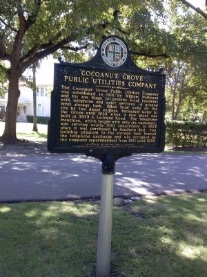
The Cocoanut Grove Public Utilities Company was established in 1916 by William Matheson and his son Hugh to provide local residents with telephone and water services. A ground level storage tank, filled from wells on the site by two diesel engines, furnished water to the Grove until 1925 when a new plant was built at 3575 S. LeJeune Road. The telephone franchise, which began with only six customers, was serving nearly 300 subscribers in 1925 when it was purchased by Southern Bell. The building adjacent to the storage tank housed the telephone exchange and was occupied by the company superintendent from 1921 until 1935.
Erected by Sponsored by Mr. and Mrs. Frank S. Longshore in cooperation with the Historical Association of Southern Florida.
Topics. This historical marker is listed in these topic lists: Communications • Industry & Commerce. A significant historical year for this entry is 1916.
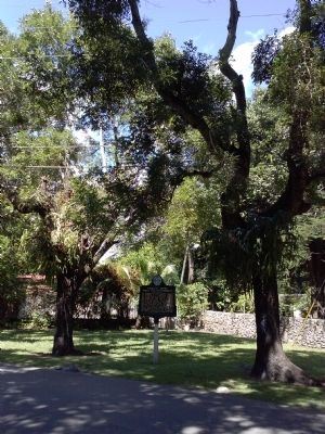
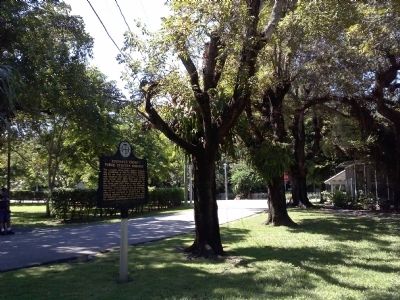
Location. 25° 43.406′ N, 80° 14.924′ W. Marker is in Coconut Grove, Florida, in Miami-Dade County. Marker is on Devon Road east of Hibiscus Street, on the left when traveling east. Touch for map. Marker is in this post office area: Miami FL 33133, United States of America. Touch for directions.
Other nearby markers. At least 8 other markers are within walking distance of this marker. El Jardin (approx. 0.2 miles away); Cocoanut Grove Park (approx. 0.2 miles away); Architecture (approx. 0.2 miles away); Ransom School (approx. 0.2 miles away); Mariah Brown House (approx. 0.2 miles away); E.W.F. Stirrup House (approx. ¼ mile away); Charles Avenue (approx. ¼ mile away); The Historic Coconut Grove Cemetery (approx. ¼ mile away). Touch for a list and map of all markers in Coconut Grove.
Credits. This page was last revised on March 21, 2023. It was originally submitted on October 12, 2014, by Marsha A. Matson of Palmetto Bay, Florida. This page has been viewed 602 times since then and 19 times this year. Photos: 1, 2, 3, 4. submitted on October 12, 2014, by Marsha A. Matson of Palmetto Bay, Florida. • Bernard Fisher was the editor who published this page.


