Proctor in Rutland County, Vermont — The American Northeast (New England)
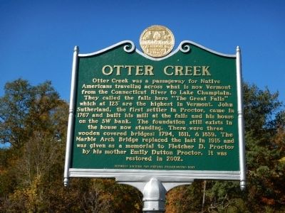
Otter Creek
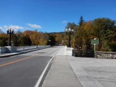
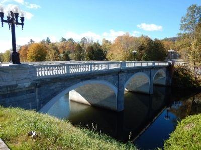
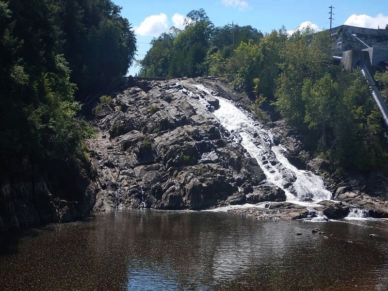
Otter Creek was a passageway for Native Americans traveling across what is now Vermont from the Connecticut River to Lake Champlain. They called the falls here “The Great Falls” which at 123’ are the highest in Vermont. John Sutherland, the first settler in Proctor, came in 1767 and built his mill at the falls and his house on the SW bank. The foundation still exists in the house now standing. There were three wooden covered bridges: 1794, 1811, & 1839. The Marble Arch Bridge replaced the last in 1915 and was given as a memorial to Fletcher D. Proctor by his mother Emily Dutton Proctor. It was restored in 2002.
Erected 2007 by Vermont Division for Historic Preservation.
Topics. This historical marker is listed in these topic lists: Bridges & Viaducts • Native Americans • Settlements & Settlers • Waterways & Vessels. A significant historical year for this entry is 1767.
Location. 43° 39.675′ N, 73° 1.991′ W. Marker is in Proctor, Vermont, in Rutland County. Marker is at the intersection of Main Street and East Street (Vermont Route 3), on the right when traveling west on Main Street. Touch for map. Marker is at or near this postal address: 4 Main Street, Proctor VT 05765, United States of America. Touch for directions.
Other nearby markers. At least 8 other markers are within 4 miles of this marker, measured as the crow flies . John Sunderland (within shouting distance of this marker); Proctor (VT) War Memorial (about 600 feet away, measured in a direct line); Vermont Marble Company (approx. 0.2 miles away); Crown Point Road (approx. half a mile away); Pittsford's Iron Industry (approx. 3.2 miles away); The Vermont Sanatorium (approx. 3.7 miles away); Mead's Falls (approx. 4.1 miles away); Center Rutland Depot (approx. 4.1 miles away). Touch for a list and map of all markers in Proctor.
More about this marker. Marker is located adjacent the parking area for the Proctor Free Library.
Also see . . . Wikipedia - Otter Creek. (Submitted on October 14, 2014, by Kevin Craft of Bedford, Quebec.)
Credits. This page was last revised on August 29, 2016. It was originally submitted on October 14, 2014, by Kevin Craft of Bedford, Quebec. This page has been viewed 510 times since then and 20 times this year. Photos: 1, 2, 3. submitted on October 14, 2014, by Kevin Craft of Bedford, Quebec. 4. submitted on August 29, 2016, by Kevin Craft of Bedford, Quebec. • Bill Pfingsten was the editor who published this page.


