Aspen Hill near Rockville in Montgomery County, Maryland — The American Northeast (Mid-Atlantic)
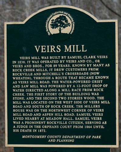
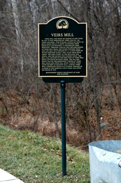
Veirs Mill
Erected by Montgomery County Department of Park and Planning.
Topics. This historical marker is listed in this topic list: Industry & Commerce. A significant historical year for this entry is 1838.
Location. 39° 4.32′ N, 77° 6.555′ W. Marker is near Rockville, Maryland, in Montgomery County. It is in Aspen Hill. Marker is on Viers Mill Road (Maryland Route 586) near Twinbrook Parkway, on the right when traveling west. Touch for map. Marker is at or near this postal address: 2526 Veirs Mill Rd, Rockville MD 20853, United States of America. Touch for directions.
Other nearby markers. At least 5 other markers are within 2 miles of this marker, measured as the crow flies. Autre - St. Mary’s Plantation (approx. 0.7 miles away); From Trolley to Trail: A Brief History (approx. 0.8 miles away); Montrose School (approx. 1.3 miles away); Historic Montrose School (approx. 1.3 miles away); a different marker also named From Trolley to Trail: A Brief History (approx. 1.3 miles away). Touch for a list and map of all markers in Rockville.
More about this marker. The marker has the logo of The Maryland-National Capital Area Park and Planning Commission.
Additional keywords. Viers Mill

Photographed By Tom Fuchs, April 1, 2006
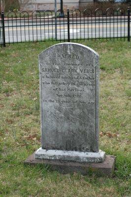
3. The Gravestone of Samuel Clark Veirs
Located in the Baptist Cemetery at West Montgomery Avenue and Van Buren Street in Rockville. The inscription reads Sacred to the memory of Samuel Clark Veirs, a beloved husband & father who fell asleep in the arms of his Saviour, Nov 8th, 1872 in the 75 year of his age.
Credits. This page was last revised on February 21, 2023. It was originally submitted on January 18, 2006, by Tom Fuchs of Greenbelt, Maryland. This page has been viewed 7,305 times since then and 169 times this year. Photos: 1, 2. submitted on January 18, 2006, by Tom Fuchs of Greenbelt, Maryland. 3. submitted on April 4, 2006, by Tom Fuchs of Greenbelt, Maryland. • J. J. Prats was the editor who published this page.

