Near Shorter in Macon County, Alabama — The American South (East South Central)
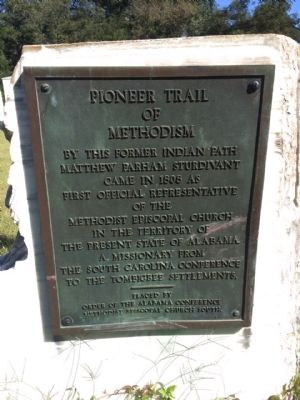
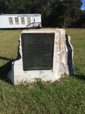
Pioneer Trail of Methodism
Matthew Parham Sturdivant
came in 1808 as
first official representative
of the
Methodist Episcopal Church
in the territory of
the present State of Alabama,
a missionary from
the South Carolina Conference
to the Tombigbee Settlements.
Erected by Order of the Alabama Conference Methodist Episcopal Church South.
Topics. This historical marker is listed in these topic lists: Churches & Religion • Settlements & Settlers. A significant historical year for this entry is 1808.
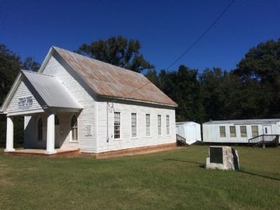
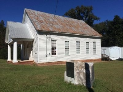
Location. 32° 22.891′ N, 85° 52.466′ W. Marker is near Shorter, Alabama, in Macon County. Marker is on Presbyterian Court (U.S. 80) 0.7 miles east of County Road 9, on the left when traveling east. Touch for map. Marker is at or near this postal address: 12100 Highway 80, Shorter AL 36075, United States of America. Touch for directions.
Other nearby markers. At least 8 other markers are within 10 miles of this marker, measured as the crow flies. Shorter, Alabama (approx. 2.9 miles away); George Stiggins (approx. 3.1 miles away); Tukabatchee / Tokvpvcce (approx. 6.6 miles away); Prairie Farms Resettlement Community (approx. 6.8 miles away); Franklin's Educational Legacy (approx. 7.1 miles away); Brewer Memorial Church (approx. 9.6 miles away); Lucas Tavern (approx. 9.8 miles away); Lucas Hill Cemetery (approx. 9.9 miles away). Touch for a list and map of all markers in Shorter.
Credits. This page was last revised on August 29, 2020. It was originally submitted on October 19, 2014, by Mark Hilton of Montgomery, Alabama. This page has been viewed 550 times since then and 36 times this year. Photos: 1, 2, 3, 4, 5. submitted on October 19, 2014, by Mark Hilton of Montgomery, Alabama. • Bernard Fisher was the editor who published this page.
