Near Harvest in Madison County, Alabama — The American South (East South Central)
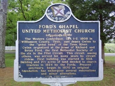
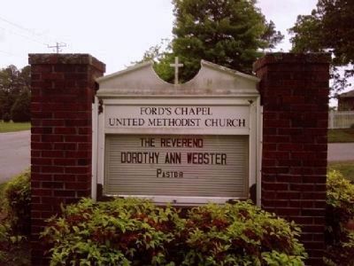
Ford's Chapel United Methodist Church
(organized 1808)
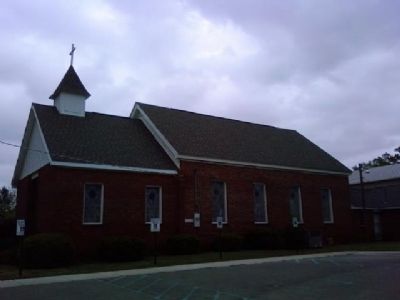
The Western Conference, Oct. 1-7, 1808 in Williamson County, Tenn., sent James Gwinn to the "great bend" of the Tenn. River. Gwinn organized at the home of Richard and Betsy Ford, the first Methodist Society of the six in the Flint Circuit. This circuit, among others, was served for many years by circuit riders. First building was started in 1815. Building and 2˝ acres of land deeded to church trustees in 1824 by the Fords. Present sanctuary, begun in 1870 on original foundation, has undergone several renovations and minor alterations.
Erected 1979 by Alabama Historical Association.
Topics and series. This historical marker is listed in these topic lists: Churches & Religion • Notable Buildings. In addition, it is included in the Alabama Historical Association, and the United Methodist Church Historic Sites series lists. A significant historical year for this entry is 1808.
Location. 34° 50.463′ N, 86° 43.853′ W. Marker is near Harvest, Alabama, in Madison County. Marker can be reached from the intersection of Ford's Chapel Drive and Autumn Drive, on the right when traveling north. Marker is on the grounds of the Ford's Chapel United Methodist Church, next to the church entrance. Touch for map. Marker is at or near this postal address: 280 Ford Chapel Drive, Harvest AL 35749, United States of America. Touch for directions.
Other nearby markers. At least 8 other markers are within 10 miles of this marker, measured as the crow flies. Toney Rosenwald School (approx. 4.2 miles away); Nicholas Davis (approx. 5 miles away); White Hall (approx. 7.1 miles away); Oakwood College (approx. 7.3 miles away); a different marker also named Oakwood College (approx. 7.7 miles away); Slave Cemetery (approx. 7.9 miles away); Lee Mansion (approx. 8.3 miles away); Superconductivity Discovery (approx. 9.2 miles away).
Related markers. Click here for a list of markers that are related to this marker.
Also see . . . Ford's Chapel United Methodist Church. Church website homepage (Submitted on May 15, 2010, by Lee Hattabaugh of Capshaw, Alabama.)
Photographed By Lee Hattabaugh, August 24, 2011
2. Ford's Chapel United Methodist Church Marker
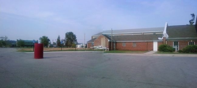
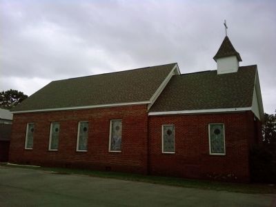
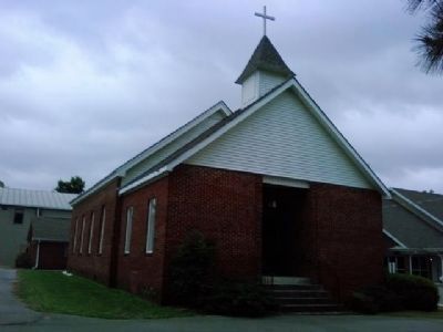
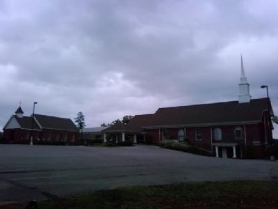
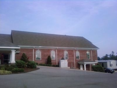
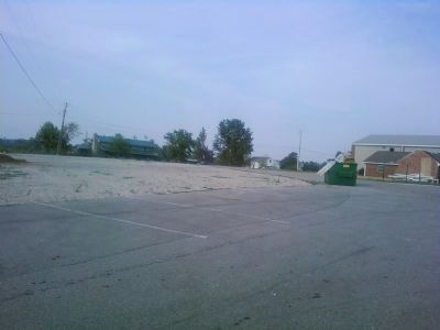
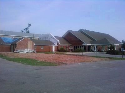
Due to damage sustained during the 27 April 2011 tornado, the marker has been moved to a new site next to the church entrance. The bare dirt spot in the foreground is where the "present sanctuary" seen in the following pictures used to be.
Credits. This page was last revised on October 11, 2021. It was originally submitted on May 15, 2010, by Lee Hattabaugh of Capshaw, Alabama. This page has been viewed 1,551 times since then and 38 times this year. Last updated on October 19, 2014, by Lee Hattabaugh of Capshaw, Alabama. Photos: 1. submitted on May 15, 2010, by Lee Hattabaugh of Capshaw, Alabama. 2, 3. submitted on August 25, 2011, by Lee Hattabaugh of Capshaw, Alabama. 4, 5, 6, 7. submitted on May 15, 2010, by Lee Hattabaugh of Capshaw, Alabama. 8. submitted on August 25, 2011, by Lee Hattabaugh of Capshaw, Alabama. 9. submitted on May 15, 2010, by Lee Hattabaugh of Capshaw, Alabama. 10. submitted on August 25, 2011, by Lee Hattabaugh of Capshaw, Alabama. • Bernard Fisher was the editor who published this page.
