Albion in Orleans County, New York — The American Northeast (Mid-Atlantic)
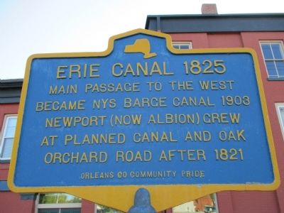
Erie Canal 1825
Became NYS Barge Canal 1903
Newport (now Albion) grew
at planned canal and Oak
Orchard Road after 1821
Erected by Orleans County Community Pride.
Topics and series. This historical marker is listed in these topic lists: Settlements & Settlers • Waterways & Vessels. In addition, it is included in the Erie Canal series list. A significant historical year for this entry is 1825.
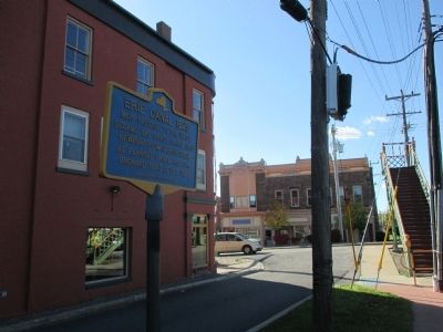
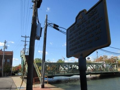
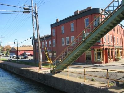
Location. 43° 14.933′ N, 78° 11.598′ W. Marker is in Albion, New York, in Orleans County. Marker is on South Main Street (New York State Route 98), on the right when traveling north. Marker is adjacent to the canal at South Main Street (NY 98), east of the lift bridge. The marker is set back from the main street; difficult to glimpse. Touch for map. Marker is in this post office area: Albion NY 14411, United States of America. Touch for directions.
Other nearby markers. At least 8 other markers are within walking distance of this marker. Calamity Sept. 28, 1859 (within shouting distance of this marker); Historic Downtown Albion (within shouting distance of this marker); Erie Canal Spurs Albion's Growth and Prosperity (about 400 feet away, measured in a direct line); Lafayette's Tour (about 500 feet away); Hitching Posts (approx. 0.2 miles away); Irish, English, Italian and Polish Immigrants (approx. 0.2 miles away); Swan Library (approx. 0.2 miles away); First United Methodist Church (approx. 0.2 miles away). Touch for a list and map of all markers in Albion.
More about this marker. South Main Street becomes North Main Street crossing the lift bridge over the canal.
Credits. This page was last revised on June 16, 2016. It was originally submitted on October 19, 2014, by Anton Schwarzmueller of Wilson, New York. This page has been viewed 423 times since then and 14 times this year. Photos: 1, 2, 3, 4. submitted on October 19, 2014, by Anton Schwarzmueller of Wilson, New York. • Bill Pfingsten was the editor who published this page.


