Near Bristow in Prince William County, Virginia — The American South (Mid-Atlantic)
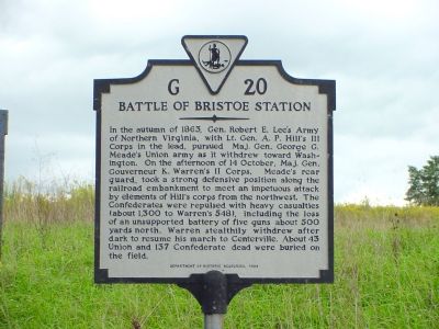
Battle of Bristoe Station
Erected 1994 by the Department of Historic Resources. (Marker Number G-20.)
Topics and series. This historical marker is listed in these topic lists: Railroads & Streetcars • War, US Civil. In addition, it is included in the Virginia Department of Historic Resources (DHR) series list. A significant historical year for this entry is 1863.
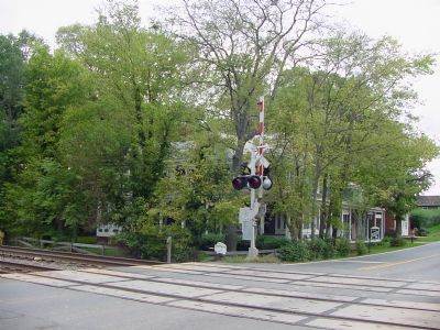
Location. 38° 43.679′ N, 77° 32.474′ W. Marker is near Bristow, Virginia, in Prince William County. Marker is on Bristow Road (Local Route 619) 0.4 miles Nokesville Road (Virginia Route 28), on the right when traveling east. Marker is about half a mile northwest of the railroad crossing where Bristoe Station used to be. Touch for map. Marker is in this post office area: Casanova VA 20139, United States of America. Touch for directions.
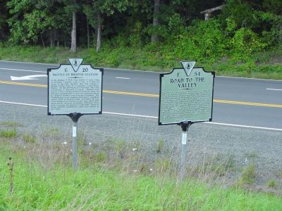
Other nearby markers. At least 8 other markers are within walking distance of this marker. Road to the Valley (here, next to this marker); In the Footsteps of North Carolina (about 300 feet away, measured in a direct line); McIntosh's Battery (about 400 feet away); Battles at Bristoe Station (about 400 feet away); Lee Catches Meade (about 600 feet away); "We Have Never Blushed Before" (about 800 feet away); Bristoe 1863 Trail (approx. 0.2 miles away); Lee's Last Move North: The Bristoe Station Campaign of 1863 (approx. 0.2 miles away). Touch for a list and map of all markers in Bristow.
Related markers. Click here for a list of markers that are related to this marker. Battle of Bristoe Station by markers.
Also see . . . Bristoe Station Battlefield. Civil War Preservation Trust page providing resources about the battle and notes regarding preservation efforts. (Submitted on July 26, 2009, by Craig Swain of Leesburg, Virginia.)
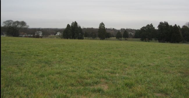
Photographed By Craig Swain, December 22, 2007
7. Heth's Repulse
From this hill to the north of Bristow, Confederate General A.P. Hill had observed the Federals withdrawing through Bristow and ordered Heth's division forward to attack. When that division was stopped short of the railroad, many of the men chose to surrender instead of retreating back up this rise. The railroad line runs through the treeline in the distance.
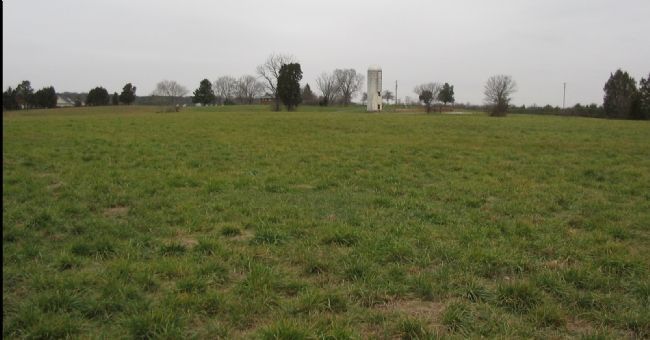
Photographed By Craig Swain, December 22, 2007
8. Captured Artillery
After the withdrawal of the remainder of Heth's forces, several Confederate artillery pieces remained in action on the hill to the north of Bristow. Unsupported by infantry, these guns were captured by a Federal counterattack and five were drug across the field to the railroad.
Credits. This page was last revised on August 20, 2020. It was originally submitted on December 22, 2006. This page has been viewed 5,097 times since then and 29 times this year. Last updated on August 16, 2020, by Bradley Owen of Morgantown, West Virginia. Photos: 1, 2, 3, 4. submitted on December 22, 2006, by J. J. Prats of Powell, Ohio. 5, 6, 7, 8. submitted on December 23, 2007, by Craig Swain of Leesburg, Virginia. • J. Makali Bruton was the editor who published this page.
