Carlton in Orleans County, New York — The American Northeast (Mid-Atlantic)
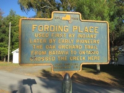
Fording Place
later by early pioneers
The Oak Orchard Trail
from Batavia to Ontario
crossed the creek here
Erected 1932 by New York State Education Department.
Topics. This historical marker is listed in these topic lists: Notable Places • Waterways & Vessels.
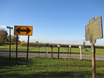
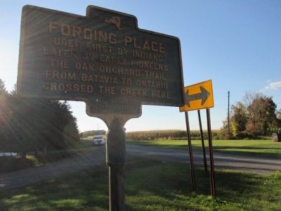
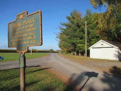
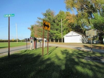
Location. 43° 20.291′ N, 78° 14.465′ W. Marker is in Carlton, New York, in Orleans County. Marker is at the intersection of Oak Orchard River Road (County Route 26) and Clarks Mills Road, on the right when traveling east on Oak Orchard River Road. Marker is within the triangular divider of the intersection. The intersection itself is on a bypassed curve of Oak Orchard River Road. Touch for map. Marker is in this post office area: Waterport NY 14571, United States of America. Touch for directions.
Other nearby markers. At least 8 other markers are within 4 miles of this marker, measured as the crow flies. Sir William Johnson (approx. 2 miles away); Kuckville Church erected in 1835 (approx. 2 miles away); July 1813 (approx. 2.4 miles away); Johnson Creek (approx. 2.6 miles away); Kenyonville (approx. 2.7 miles away); Cobblestone Wall Section (approx. 3 miles away); Fishing Camp (approx. 3.4 miles away); Original Site of the Wesleyan Methodist Church (approx. 3.8 miles away). Touch for a list and map of all markers in Carlton.
More about this marker. The fording place shore is not public property; unable to view.
Related marker. Click here for another marker that is related to this marker. Another marker for the same Indian Trail.
Credits. This page was last revised on June 16, 2016. It was originally submitted on October 25, 2014, by Anton Schwarzmueller of Wilson, New York. This page has been viewed 585 times since then and 19 times this year. Photos: 1, 2, 3, 4, 5. submitted on October 25, 2014, by Anton Schwarzmueller of Wilson, New York. • Bill Pfingsten was the editor who published this page.
