Near Brackettville in Kinney County, Texas — The American South (West South Central)
Las Moras Spring
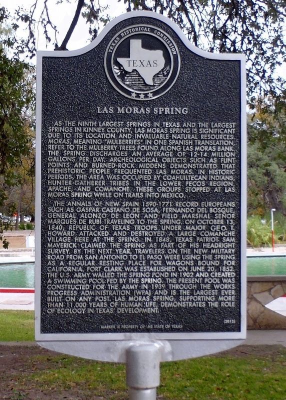
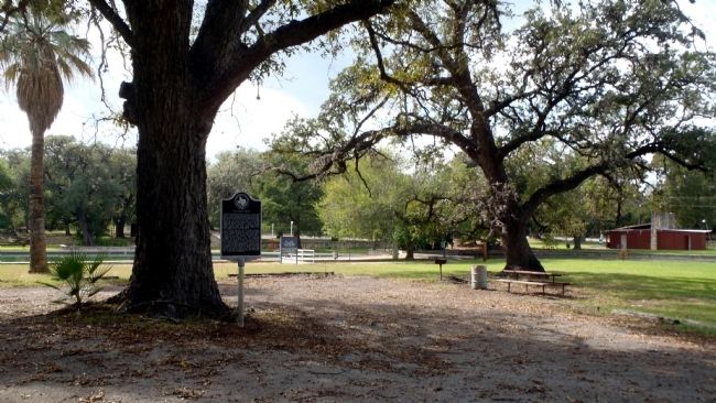
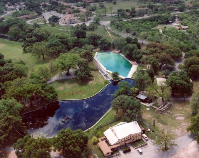
As the ninth largest springs in Texas and the largest springs in Kinney County, Las Moras Spring is significant due to its location and invaluable natural resources. Moras, meaning “mulberries” in one Spanish translation, refer to the mulberry trees found along Las Moras bank. The spring discharges an average of 12-14 million gallons per day. Archaeological objects such as flint points and burned-rock middens demonstrated that prehistoric people frequented Las Moras. In historic periods, the area was occupied by Coahuiltecan Indians, hunter-gatherer tribes in the Lower Pecos region, Apache, and Comanche. These groups stopped at Las Moras Spring while on trails into Mexico.
The annals of New Spain 1590-1771 record Europeans such as Gaspar Castaño de Sosa, Fernando del Bosque, General Alonzo de Leon and Field Marshal Señor Marqués de Rubí traveling to the spring. On October 13, 1840, Republic of Texas troops under Major Geo T. Howard attacked and destroyed a large Comanche village here at the spring. In 1848, Texas patriot Sam Maverick claimed the spring as part of his headright survey. By the next year, travelers on the new military road from San Antonio to El Paso were using the spring as a regular resting place for wagons bound for California. Fort Clark was established on June 20, 1852. The U.S. Army walled the spring pond in 1902 and created a swimming pool fed by the spring. The present pool was constructed for the Army in 1939 through the Works Progress Administration (WPA) and is the largest ever built on any post. Las Moras Spring, supporting over 11,000 years of human life, demonstrates the role of ecology in Texas’ development.
Marker is property of the state of Texas
Erected 2014 by Texas Historical Commission. (Marker Number 17807.)
Topics and series. This historical marker is listed in these topic lists: Environment • Exploration • Native Americans. In addition, it is included in the El Camino Real de los Tejas National Historic Trail, and the San Antonio-El Paso Road series lists. A significant historical month for this entry is June 1860.
Location. 29° 18.528′ N, 100° 25.303′ W. Marker is near Brackettville, Texas, in Kinney County. Marker can be reached from Swim Park Lane west of Fort Clark Road, on the right when traveling north. Touch for map. Marker is in this post office area: Brackettville TX 78832, United States of America. Touch for directions.
Other nearby markers. At least 8 other markers are within walking distance of this marker. Fight at Las Moras Spring (about 400 feet away, measured in a direct line); Officers' Club Open Mess (about 700 feet away); 2nd Cavalry Division at Fort Clark (about 700 feet away); Seminole-Negro Indian Scout Detachment
(about 800 feet away); U.S. Army Unit Memorial (about 800 feet away); Officers Quarters 2-3 and 4 (approx. 0.2 miles away); Married Officers' Quarters 8-9 (approx. 0.2 miles away); Officers' Row Quarters (approx. 0.2 miles away). Touch for a list and map of all markers in Brackettville.
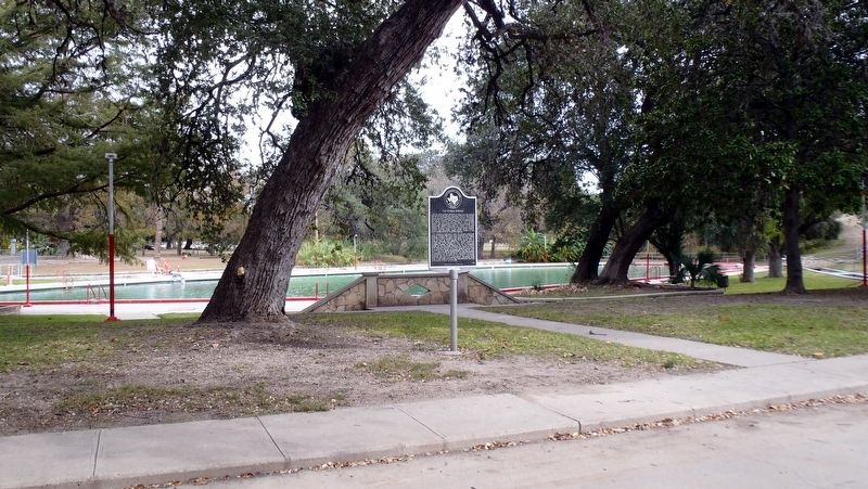
More about this marker. The marker is located on the grounds of the Fort Clark Springs Association in the Fort Clark National Register Historic District and is accessible to the public.
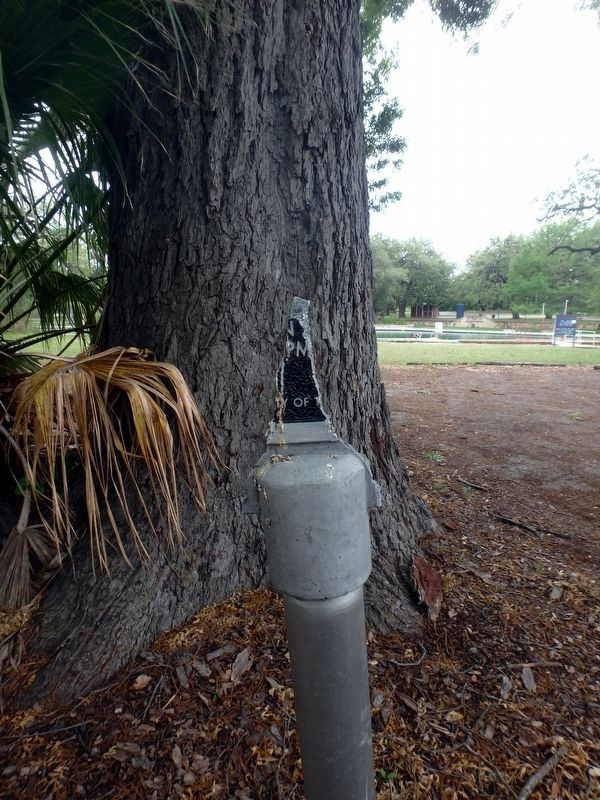
Regarding Las Moras Spring. The marker text has been corrected from John T. Howard to Geo. T. Howard.
Credits. This page was last revised on November 29, 2021. It was originally submitted on October 31, 2014, by William F Haenn of Fort Clark (Brackettville), Texas. This page has been viewed 1,367 times since then and 46 times this year. Last updated on November 26, 2021, by William F Haenn of Fort Clark (Brackettville), Texas. Photos: 1. submitted on November 26, 2021, by William F Haenn of Fort Clark (Brackettville), Texas. 2. submitted on May 6, 2019, by William F Haenn of Fort Clark (Brackettville), Texas. 3. submitted on October 12, 2015, by William F Haenn of Fort Clark (Brackettville), Texas. 4. submitted on November 26, 2021, by William F Haenn of Fort Clark (Brackettville), Texas. 5, 6. submitted on October 31, 2014, by William F Haenn of Fort Clark (Brackettville), Texas. 7. submitted on June 14, 2015, by Richard Denney of Austin, Texas. • J. Makali Bruton was the editor who published this page.
